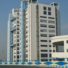
Budge Budge II community development block, Administrative block in Alipore Sadar, India
Budge Budge II is a community development block in West Bengal covering approximately 78 square kilometers. The region is divided into six gram panchayats that handle local administration and community services.
This block was established during West Bengal's administrative reorganization and became part of South 24 Parganas district. Its creation reflected efforts to improve local governance and develop community services in the region.
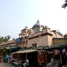
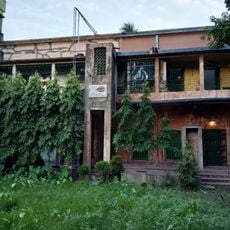
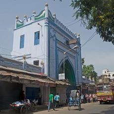
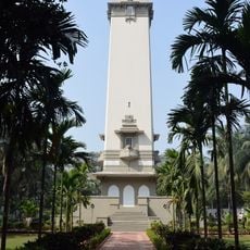
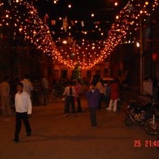
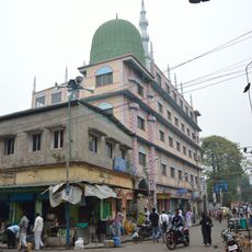
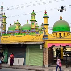
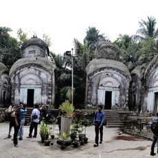
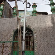
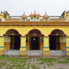
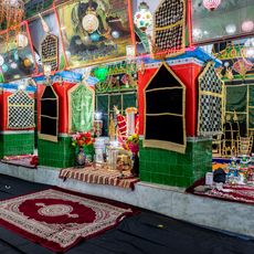
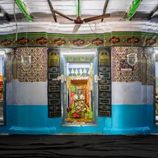
Bengali is the everyday language spoken throughout this community development block. Hindu and Muslim traditions coexist here and shape the local customs and practices that visitors observe in daily life.
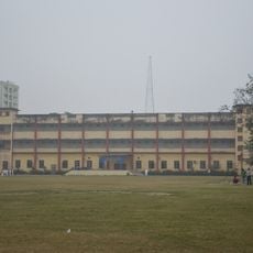
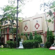
The block has a rural hospital and multiple health centers providing basic medical care to residents. Schools and public facilities are distributed across different parts of the region and serve the local population.
Farming here adapts to saline soil conditions, leading farmers to focus on specific cultivation methods suited to the land. This adjustment demonstrates how the community works with its natural environment to produce crops.
Location: Alipore Sadar subdivision
Elevation above the sea: 9 m
Shares border with: Shyampur II community development block, Uluberia I community development block, Budge Budge I community development block, Bishnupur II community development block, Falta community development block
GPS coordinates: 22.48276,88.18176
Latest update: December 12, 2025 07:59
Kalighat Kali Temple
17 km
The Great Banyan
13.9 km
National Library of India
16.6 km
Alipore Zoological Gardens
16.6 km
Acharya Jagadish Chandra Bose Indian Botanic Garden
13.9 km
Nabanna
16.5 km
St. Thomas' School
16.2 km
Agri Horticultural Society of India
16.4 km
Andul rajbari
12.5 km
Sabarna Sangrahashala
13.3 km
Sibtainabad Imambara
12.9 km
State Archaeological Museum
14.1 km
BAPS Shri Swaminarayan Mandir Kolkata
13 km
Lascar War Memorial
17 km
Pathrakaliamman Temple
17 km
Gurusaday Museum
12.9 km
Jagajjivanpur copper-plate inscription of Mahendrapala
14.1 km
Sola Ana Mosque
15.5 km
St. Stephen's Church
16.4 km
The Behala Town Library
14.3 km
Zohra Begum Mosque
16.4 km
Kamarghat Dwadash Shiva temple
16.6 km
Panjatan Imambara
15 km
Patitpabani Durga temple
15.2 km
Roxburgh Building
13.3 km
Qasr-ul-buka Imambara
13.3 km
Khatirbazar semaphore tower
13.8 km
Begum Umda Mahal Imambara
12.8 kmVisited this place? Tap the stars to rate it and share your experience / photos with the community! Try now! You can cancel it anytime.
Discover hidden gems everywhere you go!
From secret cafés to breathtaking viewpoints, skip the crowded tourist spots and find places that match your style. Our app makes it easy with voice search, smart filtering, route optimization, and insider tips from travelers worldwide. Download now for the complete mobile experience.
A unique approach to discovering new places❞
— Le Figaro
All the places worth exploring❞
— France Info
A tailor-made excursion in just a few clicks❞
— 20 Minutes