
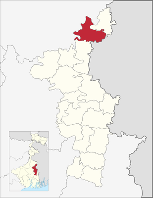
Karimpur II community development block, Community development block, West Bengal, India
Location: Tehatta subdivision
Elevation above the sea: 19 m
GPS coordinates: 23.94013,88.60611
Latest update: March 15, 2025 08:38
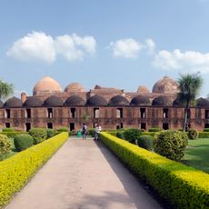
Katra Masjid
42.3 km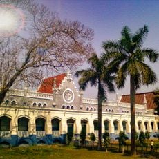
Krishnath College
40.3 km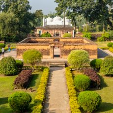
Khushbagh
43.1 km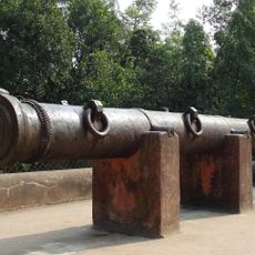
Jahan Kosha cannon
42 km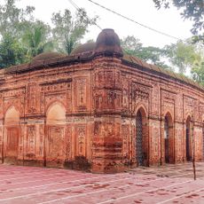
Bagha Mosque
37.1 km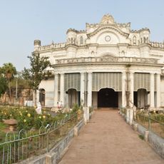
Wasif Manzil
43.6 km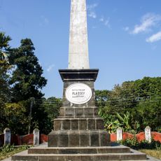
Palashi Monument
40 km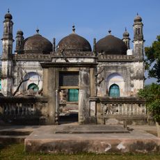
Motijheel Jama Mosque
41.7 km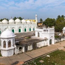
Chawk Masjid
43.6 km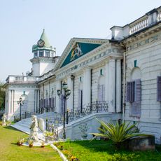
Cossimbazar Palace of Roys
39.8 km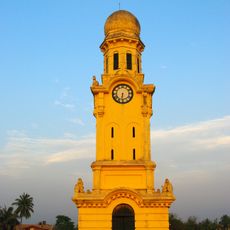
Clock Tower of Murshidabad
43.9 km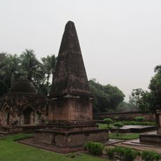
Dutch Cemetery
40.1 km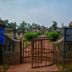
Residency Cemetery
38.9 km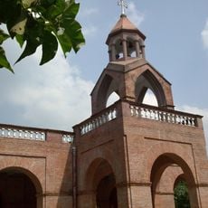
St. Mary Armenian Church
40.8 km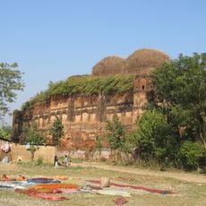
Fauti Mosque
42.9 km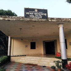
Bagha Museum
37.2 km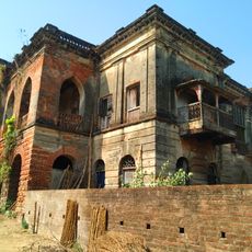
Natun Bagchi Bari
8 km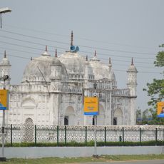
White mosque
43.6 km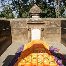
Tomb of Mir Madan
40.3 km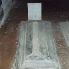
Siraj ud-Daulah's grave
43 km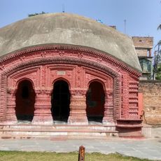
Dayamoyee Kali temple
41.1 km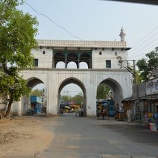
Tripolia Gate
43.7 km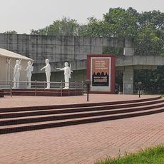
Mujibnagar Complex Museum
32.8 km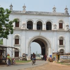
Nizamat Fort South Gate
43.4 km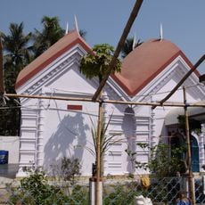
Krishna Ray temple
24.9 km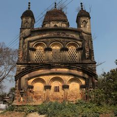
Annapurna temple of Singha Ray family
43.7 km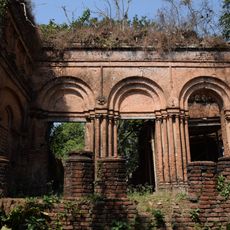
Durga dalan of Bagchi family
8.1 km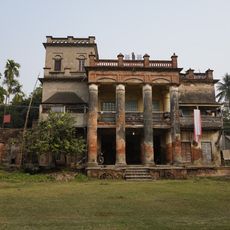
Ghosh Chowdhury Zamindar house
30.6 kmReviews
Visited this place? Tap the stars to rate it and share your experience / photos with the community! Try now! You can cancel it anytime.
Discover hidden gems everywhere you go!
From secret cafés to breathtaking viewpoints, skip the crowded tourist spots and find places that match your style. Our app makes it easy with voice search, smart filtering, route optimization, and insider tips from travelers worldwide. Download now for the complete mobile experience.

A unique approach to discovering new places❞
— Le Figaro
All the places worth exploring❞
— France Info
A tailor-made excursion in just a few clicks❞
— 20 Minutes