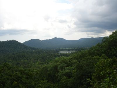
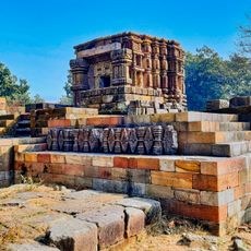
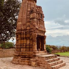
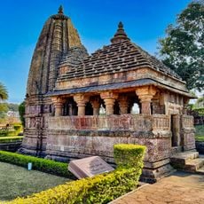
Maikal Hills, Mountain range in Kawardha District, Chhattisgarh, India.
The Maikal Hills form a mountain range sprawling across eastern Chhattisgarh and Madhya Pradesh, blanketed in dense forests. Elevations range from approximately 340 to 941 meters, creating a distinct natural boundary between different landscape zones.
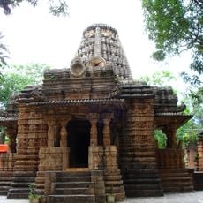
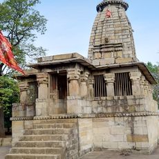
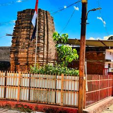
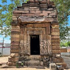
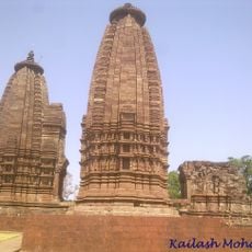
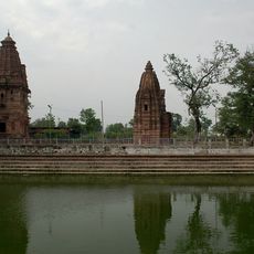
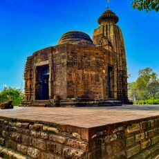
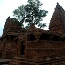
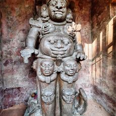
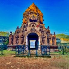
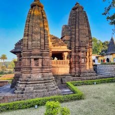
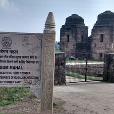
The region was once known as Mekala and came under Panduvamshi dynasty rule, which controlled vast territories in the area. This ancient governance shaped the political landscape for several centuries.
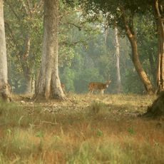
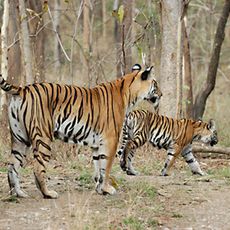
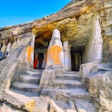
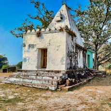
Baiga and Gond communities have shaped life in these forests for generations through their distinct traditions and ways of living. Their presence remains visible in settlements and daily activities throughout the region.
The nearest major transport links are Jabalpur railway station and airport, which serve as the main gateways to the region. From there, local routes and vehicles are needed to explore the hills themselves.
These hills hold bauxite deposits while simultaneously acting as a watershed for rivers across the region. The valleys feed several major river systems including the Narmada, making them a crucial part of the local water network.
The community of curious travelers
AroundUs brings together thousands of curated places, local tips, and hidden gems, enriched daily by 60,000 contributors worldwide.