
Kommunaler Wohnbau, Greinzblock, building in Innsbruck, Austria
Location: Innsbruck
Address: Rudolf-Greinz-Straße 1-11, unger. Nr.
GPS coordinates: 47.26261,11.41550
Latest update: March 5, 2025 16:27

Ostfriedhof
614 m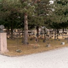
Soldatenfriedhof Amras
758 m
Rapoldipark
769 m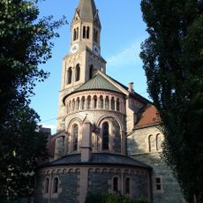
Pfarrkirche Pradl
730 m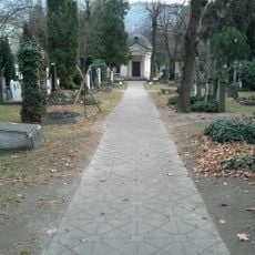
Militärfriedhof Pradl
480 m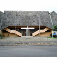
Kath. Pfarrkirche hl. Norbert
272 m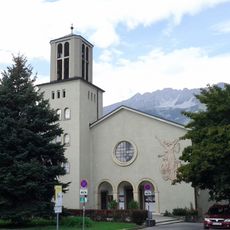
Schutzengelkirche
426 m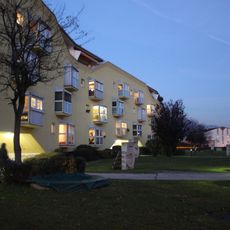
Wohnanlage Amthorstraße
612 m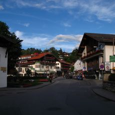
Mittelgebirgsstraße
573 m
Wohnen am Park
711 m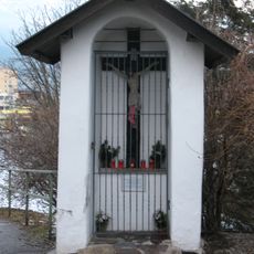
Pradl, Kapellenbildstock
630 m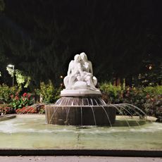
Salige-Fräulein-Brunnen
685 m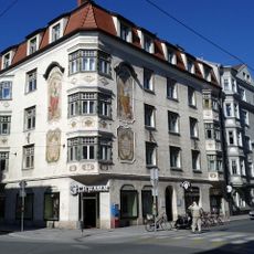
Pradler Straße 38
547 m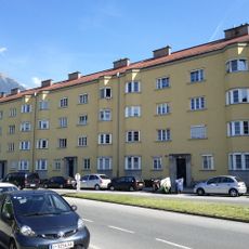
Pembaurblock, Innsbruck
614 m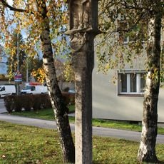
Bildstock, Getznersäule
729 m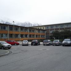
Ehem. Doppelvolksschule Pradl Ost, heute Schulanlage Siegmairstraße-Lönsstraße
543 m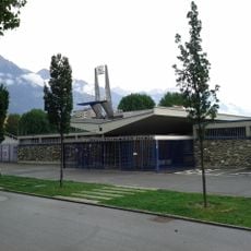
Freibad Tivoli
694 m
Dodlhof
727 m
Städtischer Wohnblock
566 m
Wetterherrenbildstock
770 m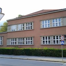
Kindergarten Pradl
742 m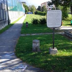
Rosssprung Pradl
657 m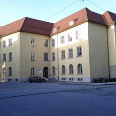
Leitgebschule
759 m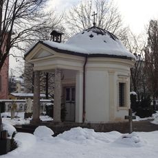
Kapelle am Militärfriedhof
475 m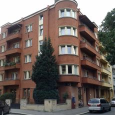
Kommunaler Wohnbau mit Umfriedung
675 m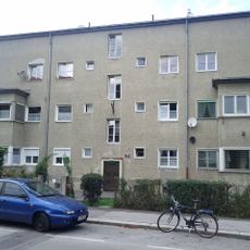
Wohnanlage „Kaufmannblock“ (6 Wohnhäuser)
468 m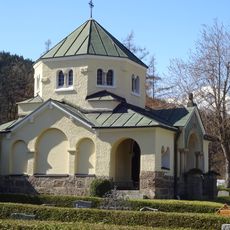
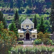
Kriegergedächtniskapelle
709 m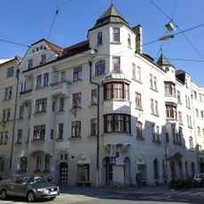
Miethaus, Wohn- und Geschäftshaus
528 mReviews
Visited this place? Tap the stars to rate it and share your experience / photos with the community! Try now! You can cancel it anytime.
Discover hidden gems everywhere you go!
From secret cafés to breathtaking viewpoints, skip the crowded tourist spots and find places that match your style. Our app makes it easy with voice search, smart filtering, route optimization, and insider tips from travelers worldwide. Download now for the complete mobile experience.

A unique approach to discovering new places❞
— Le Figaro
All the places worth exploring❞
— France Info
A tailor-made excursion in just a few clicks❞
— 20 Minutes