
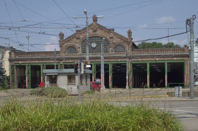
Gürtel tram depot, Denkmalgeschütztes Objekt in Währing (52353)
Location: Währing
Address: Währinger Gürtel 131–133
GPS coordinates: 48.23144,16.35063
Latest update: March 5, 2025 04:20
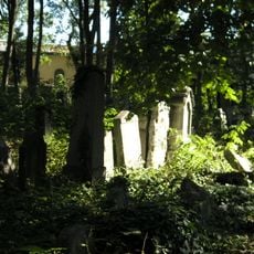
Jewish cemetery in Währing
143 m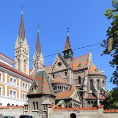
St. Canisius's Church, Vienna
336 m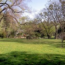
Währinger Park
190 m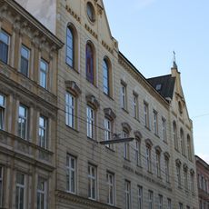
Albertus-Magnus-Schule, Währing
320 m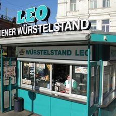
Würstelstand LEO
278 m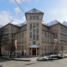
Julius-Tandler-Familienzentrum
212 m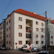
Klose-Hof
236 m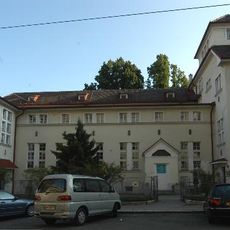
Karolinen-Kinderspital
274 m
Pestalozzi-Hof
278 m
Arthur-Schnitzler-Hof
213 m
Wohnhausanlage Pulverturmgasse 4
332 m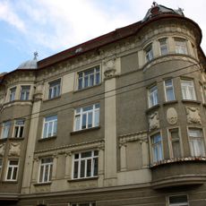
Zinshaus Sternwartestraße 25
406 m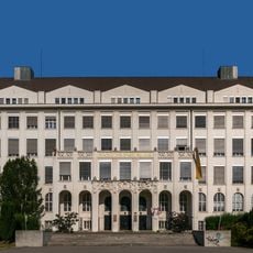
Döbling Hochschule für Welthandel
265 m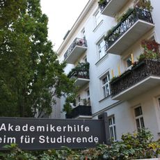
Heim für Studierende der Akademikerhilfe, Währing
387 m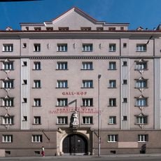
Gall-Hof
344 m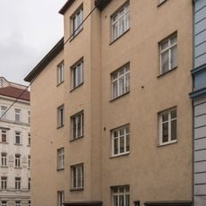
Wohnhausanlage Rufgasse 4
384 m
Skyline Spittelau
253 m
Albertus-Magnus-Studentenheim
350 m
Julius-Tandler-Heim
311 m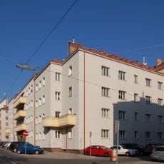
Ella-Briggs-Hof
291 m
Döblinger Gürtel 10
352 m
Wohnhausanlage Liechtensteinstraße 137
403 m
Miethaus, Gasthaus, Zum weißen Schwan
367 m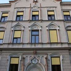
Lehrerbildungsanstalt der Marianisten, Währing
354 m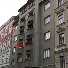
Kommunaler Wohnbau
195 m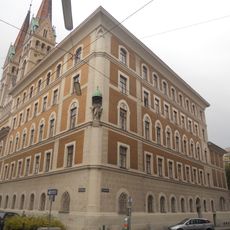
Pfarrhof
361 m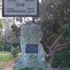
Gedenkstein 1948
159 m
Wohnhausanlage der Städtischen Straßenbahnen, jetzt der Gemeinde Wien
387 mReviews
Visited this place? Tap the stars to rate it and share your experience / photos with the community! Try now! You can cancel it anytime.
Discover hidden gems everywhere you go!
From secret cafés to breathtaking viewpoints, skip the crowded tourist spots and find places that match your style. Our app makes it easy with voice search, smart filtering, route optimization, and insider tips from travelers worldwide. Download now for the complete mobile experience.

A unique approach to discovering new places❞
— Le Figaro
All the places worth exploring❞
— France Info
A tailor-made excursion in just a few clicks❞
— 20 Minutes