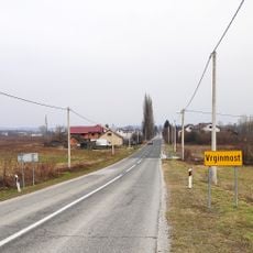
Velika Kladuša, town in Bosnia and Herzegovina
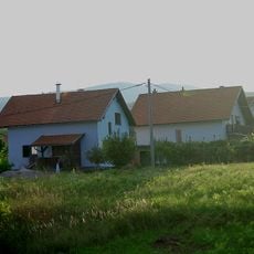
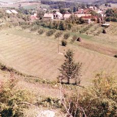
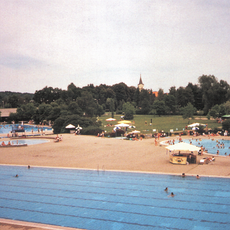
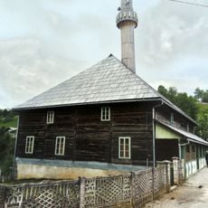
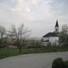
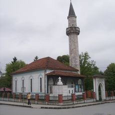
Velika Kladuša is a town in Bosnia and Herzegovina located in a river valley with a mix of historical and modern buildings. The town center features a main square surrounded by cafes and small shops, while residential areas spread across the valley with traditional houses.
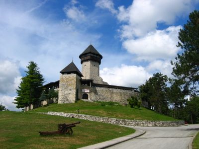
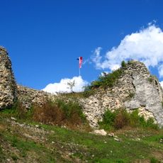
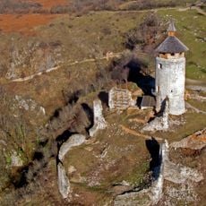
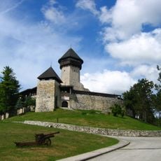
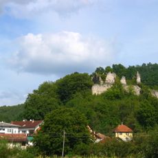
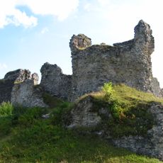
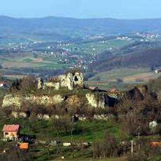
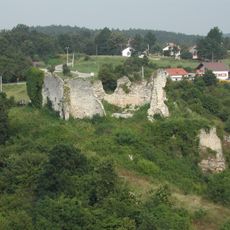
The town was first mentioned in the 13th century and held strategic importance due to its location on a major trade route. Under Ottoman rule, a large fortress called Stari Grad was built to protect the region, which remains visible today.
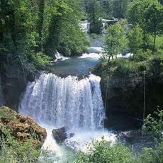
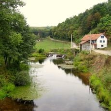
The name Velika Kladuša comes from the river that flows through the valley. Today the town is shaped by its markets, where local farmers sell fresh produce and neighbors exchange goods in a friendly manner.
The town is easily navigable on foot and the walk from the center to Stari Grad fortress takes about 15 minutes. By car, visitors can park free near historical sites and explore the area at their own pace.
The Stari Grad fortress was damaged by a lightning strike in April 2023 but remains a solid anchor of town history. Despite this and earlier sieges, the structure still stands and regularly attracts visitors who marvel at its resilience.
The community of curious travelers
AroundUs brings together thousands of curated places, local tips, and hidden gems, enriched daily by 60,000 contributors worldwide.