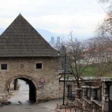
Ilijas municipality

Log in to your account

AroundUs is a community-driven map of interesting places, built by curious explorers like you. It grows with every review, story, and photo you share.
Connect to save your favorite spots, contribute locations, and create personalized routes.
By continuing, you accept our Terms and Conditions and our Privacy Policy
Add to collection
Map
Suggest a change
Share

Ilijas municipality, municipality of Bosnia and Herzegovina

GPS coordinates: 44.00938,18.46691

Latest update: March 4, 2025 18:40

Around this place
Show the full map
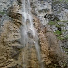
Skakavac Waterfall
Bosnia and Herzegovina

Skakavac Waterfall

6.9 km
Bijambare
Bosnia and Herzegovina

Bijambare

8.8 km
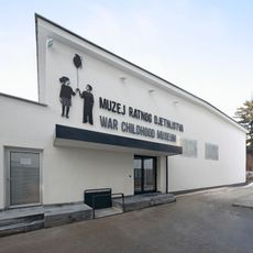
War Childhood Museum
Bosnia and Herzegovina

War Childhood Museum

16.7 km
Pionirska dolina
Bosnia and Herzegovina

Pionirska dolina

15.3 km
Svrzo's House
Bosnia and Herzegovina

Svrzo's House

16.6 km
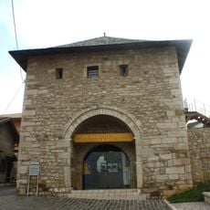
Hum Tower
Bosnia and Herzegovina

Hum Tower

16.5 km
Church of the Translation of the Relics of Metropolitan Nikolaj
Bosnia and Herzegovina

Church of the Translation of the Relics of Metropolitan Nikolaj

18 km
Višnjik 16 traditional house
Bosnia and Herzegovina

Višnjik 16 traditional house

16.5 km
Museum "Alija Izetbegović"
Bosnia and Herzegovina

Museum "Alija Izetbegović"

16.5 km
Queen of the Holy Rosary Church in Sarajevo
Bosnia and Herzegovina

Queen of the Holy Rosary Church in Sarajevo

16.9 km
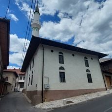
Mišćina Mosque
Bosnia and Herzegovina

Mišćina Mosque

16.5 km
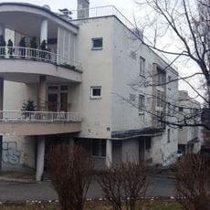
Residential complex on Džidžikovac, the architectural ensemble
Bosnia and Herzegovina

Residential complex on Džidžikovac, the architectural ensemble

17 km
Kirche Hl. Großmärtyrer Prokopios (Breza)
Bosnia and Herzegovina

Kirche Hl. Großmärtyrer Prokopios (Breza)

16.5 km
Čemerska Planina
Bosnia and Herzegovina

Čemerska Planina

7.3 km
Црква Светог Пантелејмона на Вучијој Луци
Serbia

Црква Светог Пантелејмона на Вучијој Луци

10.9 km
Il Kal Di La Bilava
Bosnia and Herzegovina

Il Kal Di La Bilava

16.9 km
Ploče kula
Bosnia and Herzegovina

Ploče kula

16.5 km
Abdesthana Mosque
Bosnia and Herzegovina

Abdesthana Mosque

16.7 km
Ulomljenica Mosque
Bosnia and Herzegovina

Ulomljenica Mosque

16.5 km
Donji Močioci necropolis
Bosnia and Herzegovina

Donji Močioci necropolis

9.6 km
Park Safet Isović
Bosnia and Herzegovina

Park Safet Isović

16.9 km
Museum of Alija Izetbegović
Bosnia and Herzegovina

Museum of Alija Izetbegović

16.5 km
Ciglane Funicular
Bosnia and Herzegovina

Ciglane Funicular

16.7 km
Porčina džamija
Bosnia and Herzegovina

Porčina džamija

16.5 km
Iplidžik Sinan Mosque
Bosnia and Herzegovina

Iplidžik Sinan Mosque

16.6 km
Villa Mathilde
Bosnia and Herzegovina

Villa Mathilde

16.8 km
Barice Kula
Bosnia and Herzegovina

Barice Kula

14.1 km
Širokac kula
Bosnia and Herzegovina

Širokac kula

16.5 km
Show the full map

Reviews

Visited this place? Tap the stars to rate it and share your experience / photos with the community! Try now! You can cancel it anytime.

« Ilijas municipality: municipality of Bosnia and Herzegovina » is provided by Around Us (aroundus.com). Images and texts are derived from Wikimedia project under a Creative Commons license. You are allowed to copy, distribute, and modify copies of this page, under the conditions set by the license, as long as this note is clearly visible.

Discover hidden gems everywhere you go!

From secret cafés to breathtaking viewpoints, skip the crowded tourist spots and find places that match your style. Our app makes it easy with voice search, smart filtering, route optimization, and insider tips from travelers worldwide. Download now for the complete mobile experience.
Around Us App Screenshot

A unique approach to discovering new places

Le Figaro

All the places worth exploring

France Info

A tailor-made excursion in just a few clicks

20 Minutes