
Rose Blanche-Harbour le Cou, town in Newfoundland and Labrador, Canada
Location: Newfoundland and Labrador
Inception: 1810
GPS coordinates: 47.61667,-58.71667
Latest update: March 4, 2025 03:28


Cape Breton Highlands National Park
177.9 km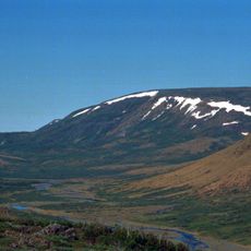
The Cabox
136.4 km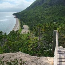
Blow Me Down Provincial Park
166.3 km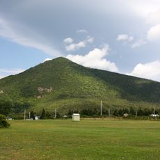
Wilkie Sugar Loaf
151.7 km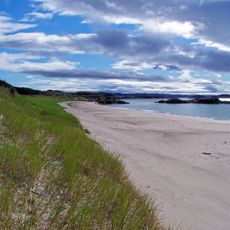
Sandbanks Provincial Park
80.3 km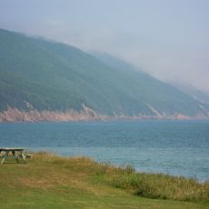
Cabots Landing Provincial Park
151.9 km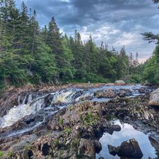
J.T. Cheeseman Provincial Park
40.4 km
Still Brook Waterfall
153.8 km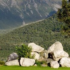
St. Andrews na Creige Golf Course
44.3 km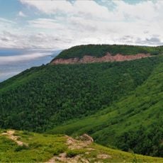
Cape Smokey Provincial Park
169.9 km
Little Grand Lake Provisional Ecological Reserve
128 km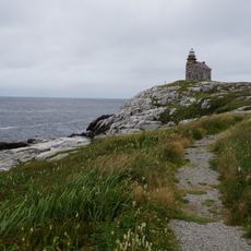
Rose Blanche Lighthouse
2.3 km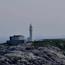
Channel Head Lighthouse
31.1 km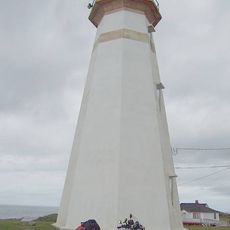
Cape Ray Lighthouse
44.1 km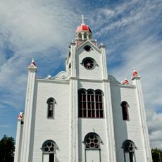
Our Lady of Mercy Roman Catholic Church
104.8 km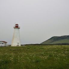
Cape Anguille light
60.8 km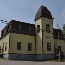
St. George’s Courthouse
92 km
Corner Brook Museum & Archives
159.3 km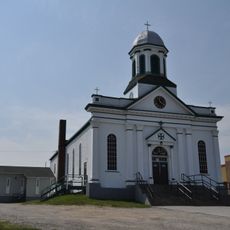
St. Joseph’s Roman Catholic Church
91.9 km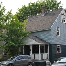
67 Central Street
159.5 km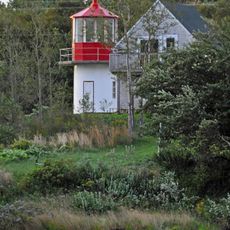
St. Paul Island South Point light
154.2 km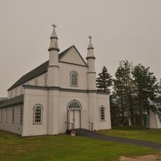
Precious Blood Roman Catholic Church and Bell House
45.4 km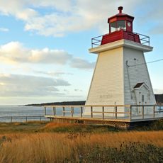
Neil's Harbour lighthouse
151 km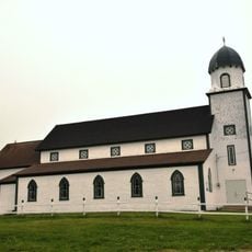
Holy Trinity Anglican Church
58.2 km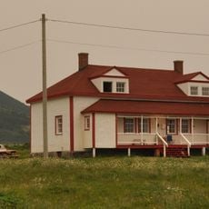
Cape Anguille Lightkeeper’s Residence
60.8 km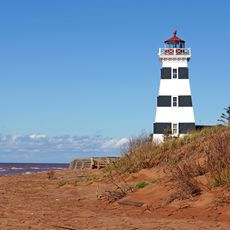
West Point Lighthouse
149 km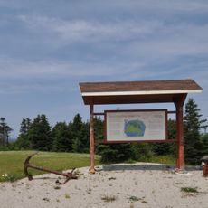
Lourdes Land Settlement Site
116.7 km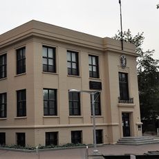
Corner Brook Public Building
159.3 kmVisited this place? Tap the stars to rate it and share your experience / photos with the community! Try now! You can cancel it anytime.
Discover hidden gems everywhere you go!
From secret cafés to breathtaking viewpoints, skip the crowded tourist spots and find places that match your style. Our app makes it easy with voice search, smart filtering, route optimization, and insider tips from travelers worldwide. Download now for the complete mobile experience.

A unique approach to discovering new places❞
— Le Figaro
All the places worth exploring❞
— France Info
A tailor-made excursion in just a few clicks❞
— 20 Minutes