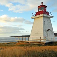
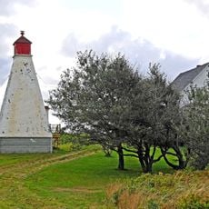
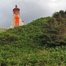
Cape Breton Highlands National Park, National park in Nova Scotia, Canada
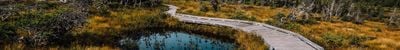
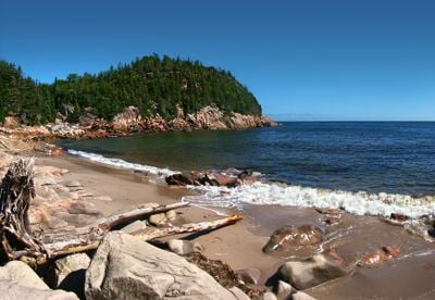
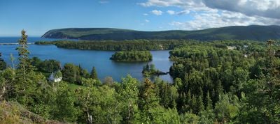
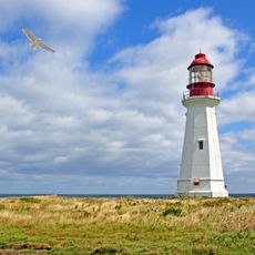
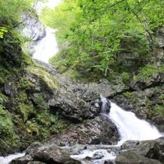
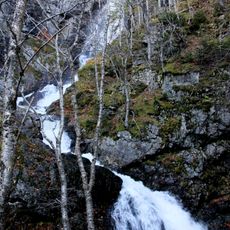
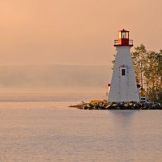
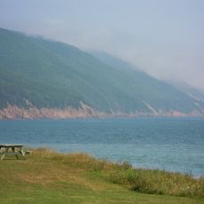
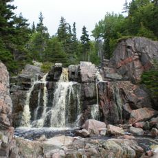
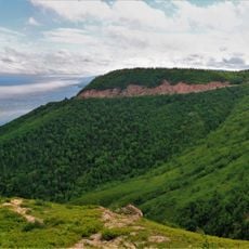
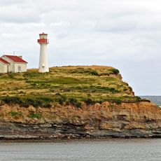
Cape Breton Highlands is a protected area in Inverness County and Victoria County, Nova Scotia, stretching across mountains, valleys, waterfalls, and rocky coastlines at the northern tip of Cape Breton Island. The landscape shifts between dense inland forests and open sea cliffs where wind and waves have shaped the rocks.
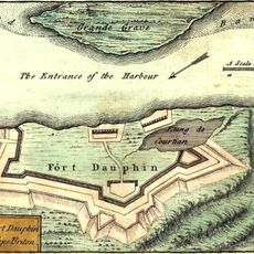
Parks Canada created this protected area in 1936 as the first national park in the Atlantic provinces of the country. The establishment followed decades of local efforts to preserve the wilderness from intensive logging.
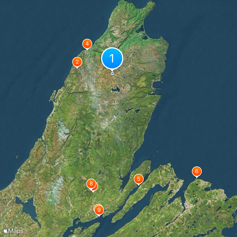
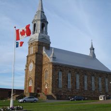
The western entrance sits near Chéticamp, an Acadian village where residents have preserved French-Canadian traditions across generations. Daily life here often unfolds in French, and local craft shops display wool work and hooked rug making.
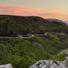
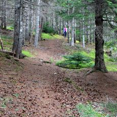
The Cabot Trail runs through roughly one-third of the territory and provides access to 26 marked hiking trails and several camping areas. Trails remain mostly accessible in summer, while fog can limit visibility along coastal sections during autumn.
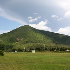
The territory contains White Hill, which reaches 533.5 meters (1750 feet) above sea level and marks the highest point in Nova Scotia. From the summit, views extend across much of the island and the surrounding ocean.
Location: Inverness County
Location: Victoria County
Inception: June 23, 1936
Website: https://pc.gc.ca/en/pn-np/ns/cbreton
GPS coordinates: 46.71670,-60.65970
Latest update: December 5, 2025 22:27
Skyline Trail
17.1 km
Alexander Graham Bell National Historic Site
68.7 km
Gampo Abbey
16.6 km
Seal Island Bridge
55.2 km
Low Point Lighthouse
64.7 km
Uisage Ban Falls Provincial Park
57.9 km
Uisage Ban Falls
56.9 km
Kidston Island Lighthouse
69.1 km
Telegraph House
69 km
Gilbert H. Grosvenor Hall
68.9 km
Victoria County Court House
69 km
Wilkie Sugar Loaf
30.1 km
Joe's Scarecrow Village
40.1 km
Wilkie Sugarloaf trail
30.4 km
Cabots Landing Provincial Park
29.2 km
Still Brook Waterfall
25.9 km
Fort Dauphin
48.2 km
Paroisse Saint-Pierre de Chéticamp
29.1 km
Montagne Noire
23.4 km
Cape Smokey Provincial Park
25.3 km
Point Aconi lighthouse
50.9 km
Les Trois Pignons
27.4 km
Black Rock Point light
50.2 km
Enragée Point lighthouse
29 km
St. Paul Island South Point light
25.3 km
Neil's Harbour lighthouse
27.8 km
Margaree Harbour Rear Range Lighthouse
46.4 km
Margaree Harbour Front Range Lighthouse
46.4 kmVisited this place? Tap the stars to rate it and share your experience / photos with the community! Try now! You can cancel it anytime.
Discover hidden gems everywhere you go!
From secret cafés to breathtaking viewpoints, skip the crowded tourist spots and find places that match your style. Our app makes it easy with voice search, smart filtering, route optimization, and insider tips from travelers worldwide. Download now for the complete mobile experience.
A unique approach to discovering new places❞
— Le Figaro
All the places worth exploring❞
— France Info
A tailor-made excursion in just a few clicks❞
— 20 Minutes