Chest opened
+${chestReward.xp} XP
Explorer
NOUVEAU ×${chestReward.collectible.quantity}
tapez pour fermer
Chest locked

Open chests in the app

Around Us is built for your phone — chests unlock when you walk, explore and capture nearby places.

Enable Location

We need your location to show you interesting places around you

Discover nearby places

Find interesting locations and hidden gems around you

Precise directions

Get accurate directions and distances to places

Your location is never shared with other users. It's only used when you tap the location button.

Log in to your account

Start exploring — it's free

Trusted by 72,927 travelers worldwide

Continue with Google
Continue with Apple
or

We will send you a code to connect

By continuing, you accept our Terms and Conditions and our Privacy Policy

Check your inbox

We've sent a pincode in your inbox. Please enter the code below.

Makanza Territory
Discussion Reviews Photo
2.1k Popularity

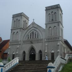
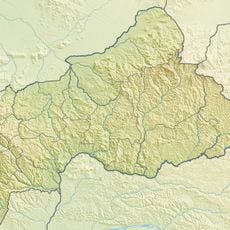
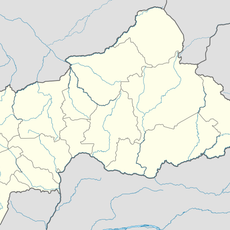
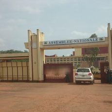
Makanza Territory, Administrative territory in Équateur Province, Democratic Republic of the Congo

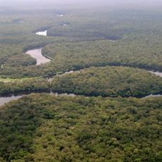
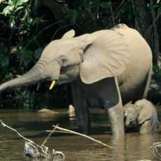
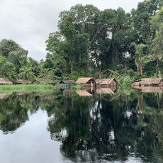
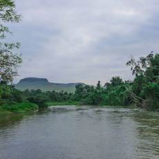
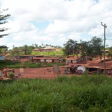
Makanza Territory is an administrative area in Équateur Province situated along the Congo River. The region encompasses several towns and settlements including Bolombo, Mabanga, Malele, and Mobeka spread across the territory.

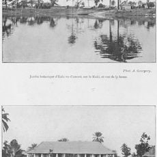
The territory was officially established through a presidential decree in 1976. It had been known earlier, in the 1890s, as a trading post that facilitated the movement of goods along the Congo River.

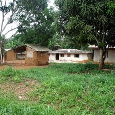
The Bangala people shape daily life and local traditions throughout the territory. You can observe this cultural identity in the conversations, crafts, and social practices of people living in the communities here.

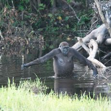
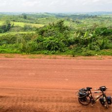
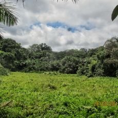
The area has a tropical climate with high rainfall and consistently warm temperatures throughout the year. Visitors should prepare for humid conditions and bring light, breathable clothing along with rain protection.

The territory is divided into three distinct administrative sectors: Bangala, Mweko, and Ndobo. Each sector manages its own local affairs and resources independently.

The community of curious travelers

AroundUs brings together thousands of curated places, local tips, and hidden gems, enriched daily by 60,000 contributors worldwide.

Start exploring
Location
GPS coordinates
0.97083,19.13988
Latest update
December 13, 2025 17:00
Around this place
Salonga National Park
Congo, Democratic Republic of the

Salonga National Park

427.1 km
Nouabalé-Ndoki National Park
Congo

Nouabalé-Ndoki National Park

331.1 km
Dzanga-Sangha Special Reserve
Central African Republic

Dzanga-Sangha Special Reserve

415.4 km
Dzanga-Ndoki National Park
Central African Republic

Dzanga-Ndoki National Park

372 km
Cathédrale Notre-Dame
Central African Republic

Cathédrale Notre-Dame

383.5 km
Mbeli Bai
Congo

Mbeli Bai

335.7 km
Lobéké National Park
Cameroon

Lobéké National Park

403.2 km
Odzala National Park
Congo

Odzala National Park

468.6 km
Sangha Trinational
Central African Republic

Sangha Trinational

364.9 km
Batéké Plateau National Park
Gabon

Batéké Plateau National Park

669.6 km
Jardin Botanique d'Eala
Congo, Democratic Republic of the

Jardin Botanique d'Eala

137.5 km
Ntokou-Pikounda National Park
Congo

Ntokou-Pikounda National Park

296.5 km
Mont Nabemba
Congo

Mont Nabemba

581.3 km
Stade Lumumba
Congo, Democratic Republic of the

Stade Lumumba

674.9 km
Chutes de Boali
Central African Republic

Chutes de Boali

451.2 km
St. Peter Claver Cathedral, Bangassou
Central African Republic

St. Peter Claver Cathedral, Bangassou

585.7 km
Our Lady of the Rosary Cathedral, Kisangani
Congo, Democratic Republic of the

Our Lady of the Rosary Cathedral, Kisangani

675 km
Mbaéré Bodingué National Park
Central African Republic

Mbaéré Bodingué National Park

386.9 km
Ngoyla Faunal Reserve
Cameroon

Ngoyla Faunal Reserve

609.7 km
Léfini Faunal Reserve
Congo

Léfini Faunal Reserve

604.5 km
Stade Omnisport Marien Ngouabi d'Owando
Congo

Stade Omnisport Marien Ngouabi d'Owando

397.1 km
Sts. Peter and Paul Cathedral, Basankusu
Congo, Democratic Republic of the

Sts. Peter and Paul Cathedral, Basankusu

78.4 km
Stade de Djambala
Congo

Stade de Djambala

624.1 km
Chutes de Djamila
Central African Republic

Chutes de Djamila

356.9 km
National Assembly of the Central African Republic building
Central African Republic

National Assembly of the Central African Republic building

386.4 km
Ville de Lomié
Cameroon

Ville de Lomié

661.2 km
Cathedral of Our Lady of the Immaculate Conception, Batouri
Cameroon

Cathedral of Our Lady of the Immaculate Conception, Batouri

655.8 km
Nki Nationalpark
Cameroon

Nki Nationalpark

538.8 km
Show the full map
Reviews
Share your experience

No review yet

Discussions
Start a discussion...

No discussion yet

« Makanza Territory - Administrative territory in Équateur Province, Democratic Republic of the Congo » is provided by Around Us (aroundus.com). Images and texts are derived from Wikimedia project under a Creative Commons license. You are allowed to copy, distribute, and modify copies of this page, under the conditions set by the license, as long as this note is clearly visible.

Discover hidden gems everywhere you go!

From secret cafés to breathtaking viewpoints, skip the crowded tourist spots and find places that match your style. Our app makes it easy with voice search, smart filtering, route optimization, and insider tips from travelers worldwide. Download now for the complete mobile experience.

Around Us App Screenshot

A unique approach to discovering new places

Le Figaro

All the places worth exploring

France Info

A tailor-made excursion in just a few clicks

20 Minutes

Around Us
Travel Guide & Maps
Download

Send to your phone

QR Code
1

Open the camera app on your mobile.

2

Point at the QR code with your camera. A notification will appear.

3

Tap the notification to open the link.