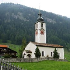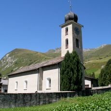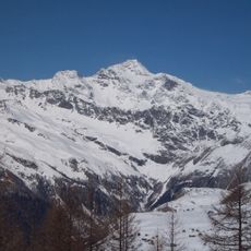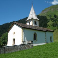
Splügen Pass, Mountain pass in Grisons, Switzerland
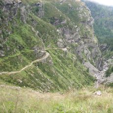
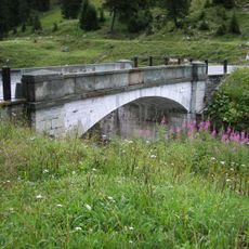
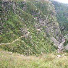
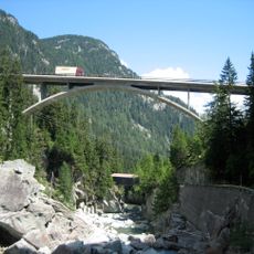
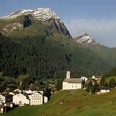
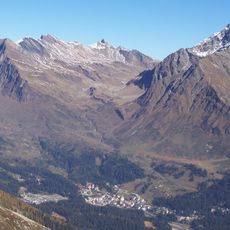
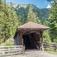
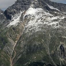
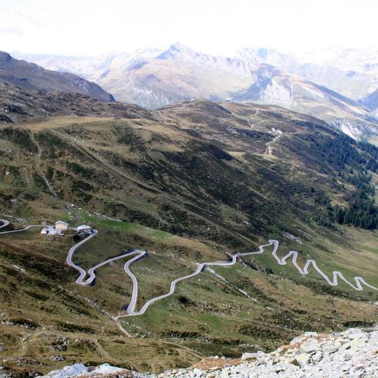
Splügen Pass is a mountain pass at 2,114 metres connecting Splügen in the Swiss Rheinwald with Chiavenna in Italy's Valchiavenna. The road crosses the Rhine–Po watershed on the border, with a nine-kilometre north ramp from Splügen that climbs through two groups of hairpins, one of six bends and one of fifteen. The 312-metre Splügengalerie, built 1843–1846 to the design of engineer Carlo Donegani, is the only gallery on the north side still standing.
Known to the Romans, the pass was long overshadowed by the Septimer route until the Heinzenberg communes of Thusis, Masein and Cazis funded repairs in 1473, making it Graubünden's main transit route. In December 1800 Marshal MacDonald led 15,000 French soldiers over it toward Chiavenna; hundreds died in avalanches. The Austrians, then ruling Milan, built the present road at their own expense, completed in summer 1822.
The name Splügen likely comes from the Latin spelunca, "cave", and the pass was once called "Bear Pass"; a cave at Montespluga is still known in the local dialect as truna de l'urs, the bear's den. The Via Spluga long-distance trail follows the old mule track about 100 m east of the road, crossing the saddle at 2,113 m.
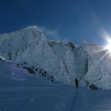
The road is typically open from May through October, with winter closures due to heavy snow at high elevations. Visitors should prepare for changeable weather conditions and tight curves if driving vehicles across the pass.
The pass road has 74 hairpin bends in total, 51 of them on the Italian side and 23 on the Swiss side. The Via Spluga long-distance trail crosses the actual saddle about 100 m east of the road, marked at 2,113 m, while the road's summit is signed as a road pass.
The community of curious travelers
AroundUs brings together thousands of curated places, local tips, and hidden gems, enriched daily by 94,627 contributors worldwide.