
Miu Ko Toi, crëp te la Cina
Location: Tsuen Wan District
Elevation above the sea: 765 m
GPS coordinates: 22.40392,114.12090
Latest update: May 29, 2025 04:15
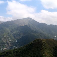
Tai Mo Shan
787 m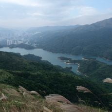
Shing Mun Reservoir
3.3 km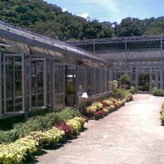
Kadoorie Farm and Botanic Garden
3.3 km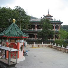
Yuen Yuen Institute
2.3 km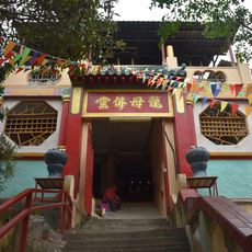
Tsuen Wan Lung Mo Temple
2.3 km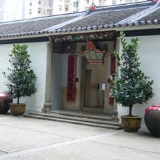
Sam Tung Uk Museum
3.6 km
Tsuen Wan New Town
3.4 km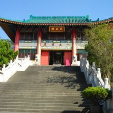
Chuk Lam Sim Yuen
2.9 km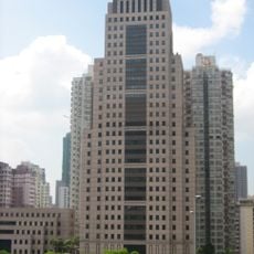
Tsuen Wan Government Offices
3.3 km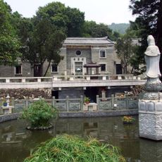
Ling Wan Monastery
3.1 km
Shing Mun Country Park
3.2 km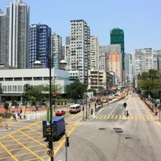
Sha Tsui Road
3.7 km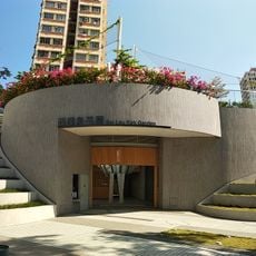
Sai Lau Kok Garden
3.4 km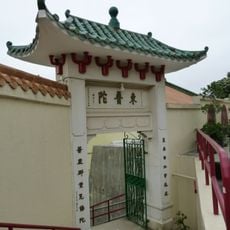
Tung Po Tor Monastery
2.8 km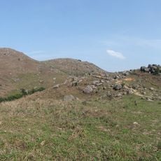
Sze Fong Shan
2.2 km
Tsuen Wan Public Library
3.3 km
Tsuen Wan Market
3.6 km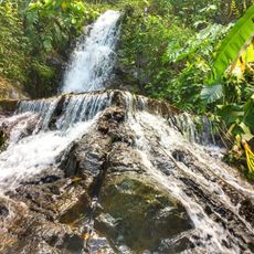
Ng Tung Chai Waterfall
3.2 km
Tin Hau Temple, Tsuen Wan
3.4 km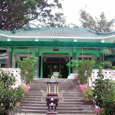
Nam Tin Chuk Temple
3 km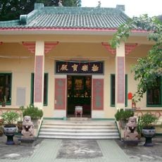
Tung Lum Nien Fah Tong
3 km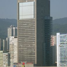
Wharf Cable Tower
3.7 km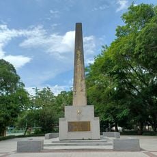
Reunification Memorial Pillar
3.6 km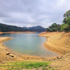
Pineapple Dam
3.2 km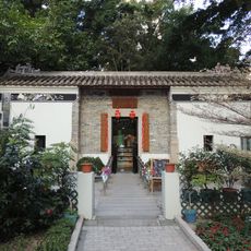
Tsuen Wan Environmental Resource Centre
3.7 km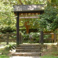
Shing Mun Arboretum
3.7 km
CHAT (Centre for Heritage, Arts and Textile)
3.4 km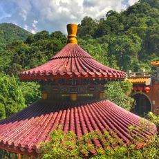
Man Tak Yuen
3.3 kmReviews
Visited this place? Tap the stars to rate it and share your experience / photos with the community! Try now! You can cancel it anytime.
Discover hidden gems everywhere you go!
From secret cafés to breathtaking viewpoints, skip the crowded tourist spots and find places that match your style. Our app makes it easy with voice search, smart filtering, route optimization, and insider tips from travelers worldwide. Download now for the complete mobile experience.

A unique approach to discovering new places❞
— Le Figaro
All the places worth exploring❞
— France Info
A tailor-made excursion in just a few clicks❞
— 20 Minutes