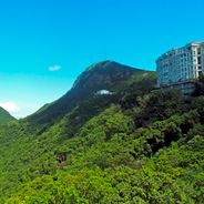
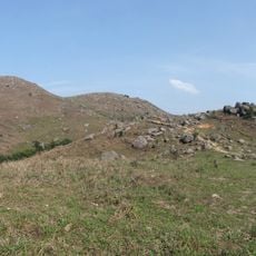
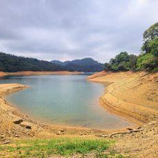
Tai Mo Shan, Mountain summit in New Territories, Hong Kong.
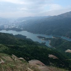
Tai Mo Shan stands at 957 meters as Hong Kong's highest mountain, with several hiking trails reaching its upper sections through varying terrain. The route features steep passages alongside more gradual stretches, with open vistas alternating between wooded areas throughout the ascent.
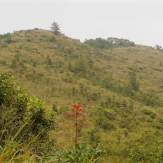
After World War II, the mountain underwent extensive reforestation following heavy logging that occurred during the war years. This replanting effort introduced many non-native tree species to the slopes, shaping the forest composition that remains visible today.
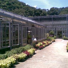
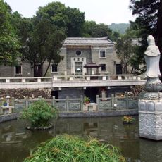
The mountain was traditionally an area where villagers grew a special variety of green tea, which benefited from the frequent mist and high humidity found on its slopes.
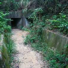
The hike begins best from Tai Mo Shan Country Park Visitor Centre, reachable by bus 51 from Nina Mall near MTR Tsuen Wan West Station. Visitors should expect changing conditions, especially fog and dampness at higher elevations, which can reduce visibility during the climb.
During winter months, frost forms at the summit area while the rest of Hong Kong maintains its subtropical climate. This unusual weather pattern makes the mountain one of the few places in Hong Kong where visitors can experience cold conditions firsthand.
The community of curious travelers
AroundUs brings together thousands of curated places, local tips, and hidden gems, enriched daily by 60,000 contributors worldwide.