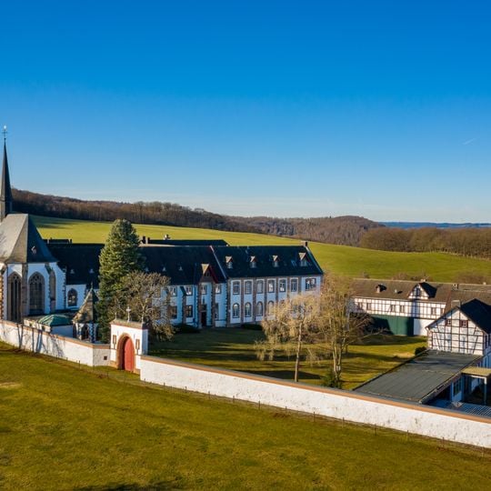
Eifel, Low mountain range in western Germany
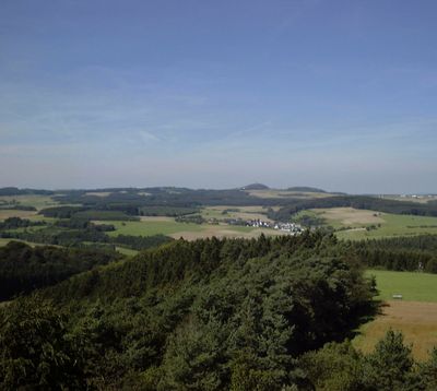
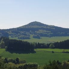
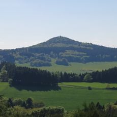
This area stretches across western parts of the country and neighboring territories with volcanic cones, valleys, and forested elevations. Shaped by maar craters, lava fields, and river courses, it forms a connected landscape between several regions and borders.
Roman roads once crossed this terrain to link major cities, while mining for metals and stone shaped life here for centuries. Later generations used the water power of streams to drive mills and small workshops along the valleys.
The name Eifel comes from the Carolingian Eifelgau, a district around the sources of the Ahr, Kyll, Urft and Erft, later applied to the whole range. Inhabitants call themselves Eifler or Eifeler. The Eifelian stage of geological history is named after the region, as rocks of that period reach the surface at the Wetteldorf Richtschnitt outcrop.
Hiking and cycling routes cross the entire area with good signage, and some sections suit families while others challenge experienced walkers. Winter can bring snow to higher ground, though valleys usually stay clear and remain accessible throughout the year.
The Eifelian stage of geological history is named after the Eifel because rocks of that period reach the surface at the Wetteldorf Richtschnitt outcrop. The Eifel is part of the Rhenish Massif, and its highest point is the volcanic cone of the Hohe Acht at 746.9 m.
The community of curious travelers
AroundUs brings together thousands of curated places, local tips, and hidden gems, enriched daily by 92,239 contributors worldwide.