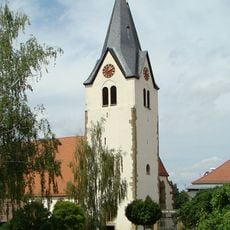
Neckarwestheim, Municipality on Neckar River in Heilbronn, Germany.
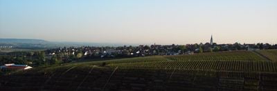
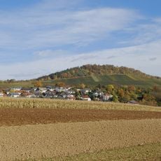
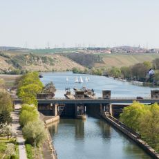
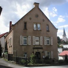
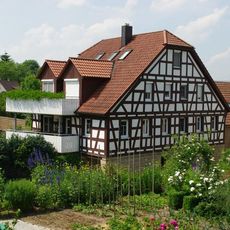
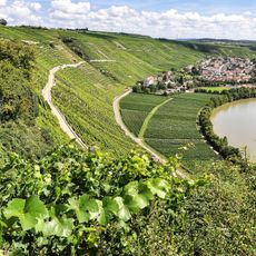
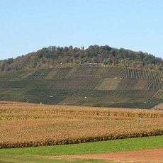
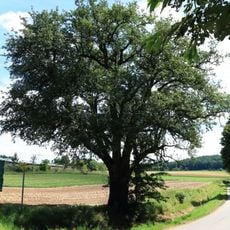
Neckarwestheim is a municipality situated along the river in the Heilbronn region, set within rolling terrain marked by vineyards. The settlement spreads across the area between the river valley and surrounding slopes.
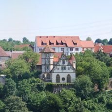
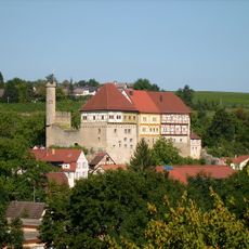
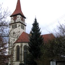
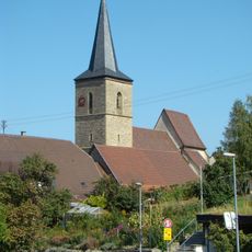
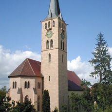
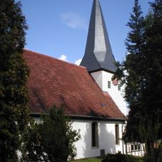
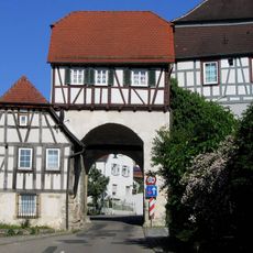
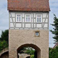
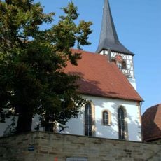
The settlement was originally called Westheim and appears in written records from 1123 onwards. This early position along the river route established the place as a center for commerce and farming across the centuries.
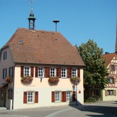
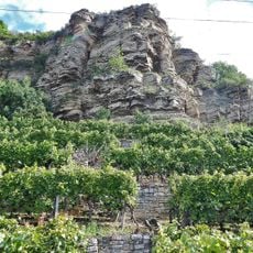
The community centers on wine production, shaped by a tradition that has defined the landscape and local life for generations. Visitors can see the vineyards surrounding the village and experience how this work follows the seasons.
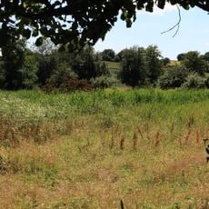
The municipality sits conveniently between major roads and offers good connections to train stations in neighboring towns. Those wanting to explore on foot will find a rural structure with paths through vineyards and built-up areas.
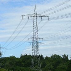
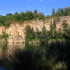
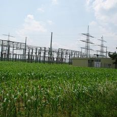
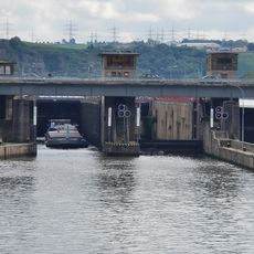
A large power station has shaped the area since the 1970s, built on the grounds of a former quarry. This industrial facility remains visible from outside and shows how the modern economy sits alongside traditional farming.
Location: Heilbronn
Location: Lauffen am Neckar VVG
Elevation above the sea: 254 m
Website: https://neckarwestheim.de
GPS coordinates: 49.05000,9.18333
Latest update: December 8, 2025 13:43
Talheim Death Pit
3.6 km
Schloss Liebenstein
1.7 km
Wunnenstein
7.3 km
Oberes Schloss
4 km
Lauffen barrage
3 km
Bahnstromleitung Neckarwestheim–Zazenhausen
1.5 km
Bartholomäuskirche
4.6 km
Pfarrkirche St. Hippolyt
4 km
Mariä Himmelfahrt
3.9 km
Lämlinhaus
3.8 km
Kilianskirche
3.7 km
FND Talheim Felswand Tauchstein
3 km
St. Johannes
3.5 km
Großbottwarer Tor
5.8 km
Kriegerdenkmal (Talheim)
3.4 km
Rathaus Ottmarsheim
3.9 km
Besigheimer Straße 9
4 km
Gebiete nördlich des Neckars bei Mundelsheim, Hessigheim, Besigheim und Gemmrigheim: Käsberg, Felsengärten, Wurmberg, Gündelstein, Kelterschen und Umgebung
4.9 km
Neckartor
2.6 km
Schozachtal zwischen Ilsfeld und Talheim
2.3 km
Wunnenstein, Forstberg und Köchersberg mit angrenzenden Gebieten (Landkreis Heilbronn)
6.6 km
FND Ilsfeld Quellgebiet Erlenbach
5.8 km
Neckarwestheim switching station
1.8 km
1 Sommerlinde
2.8 km
1 Mostbirnbaum
5.1 km
1 Linde
4.6 km
Schleuse Lauffen
3 km
Krappenfelsen und Weinberg am Neckar
1.3 kmVisited this place? Tap the stars to rate it and share your experience / photos with the community! Try now! You can cancel it anytime.
Discover hidden gems everywhere you go!
From secret cafés to breathtaking viewpoints, skip the crowded tourist spots and find places that match your style. Our app makes it easy with voice search, smart filtering, route optimization, and insider tips from travelers worldwide. Download now for the complete mobile experience.
A unique approach to discovering new places❞
— Le Figaro
All the places worth exploring❞
— France Info
A tailor-made excursion in just a few clicks❞
— 20 Minutes