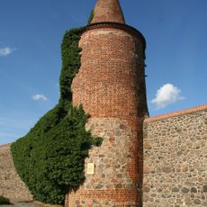
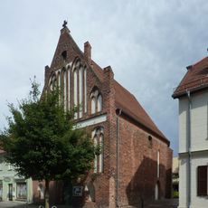
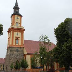
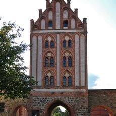
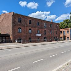
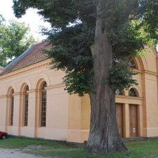
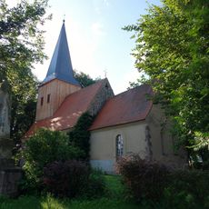
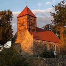
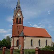
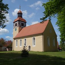
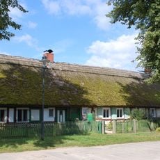
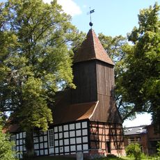
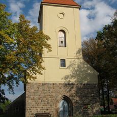
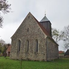
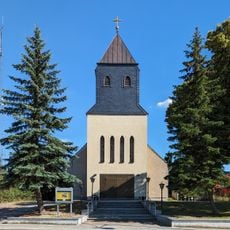
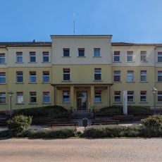
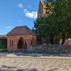
Uckermark, Historical region in Brandenburg, Germany
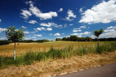
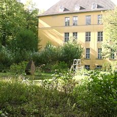
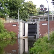
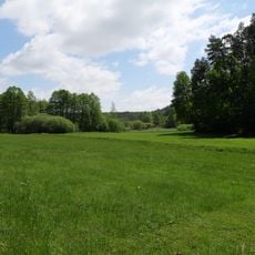
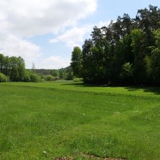
This territory in northern Brandenburg is a wide open landscape made up of forests, meadows, lakes and wetlands. These different habitats often merge without clear boundaries and together form a varied natural environment.
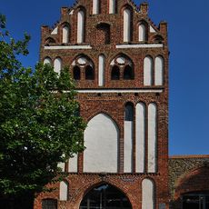
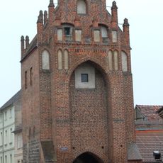
Between the 13th and 15th centuries, control over the territory changed hands several times between the Duchy of Pomerania and the Margraviate of Brandenburg. These power struggles shaped the political development of the area for a long time.
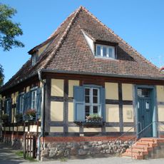
The name comes from the Ukrer, a Slavic tribe who lived here long before German settlers arrived. Many village names in the area still carry traces of these Slavic roots and remind visitors of the early settlement.
Around 260 kilometers (162 miles) of cycling paths connect Lower Oder Valley National Park, Schorfheide-Chorin Biosphere Reserve and Uckermärkische Seen Nature Park. Anyone traveling these routes can explore different protected areas and move between forests, lakes and wetlands.
This area is among the least populated parts of Germany with around 38 inhabitants per square kilometer. This low population density feels more like remote areas in northern Poland than the rest of Germany.
The community of curious travelers
AroundUs brings together thousands of curated places, local tips, and hidden gems, enriched daily by 60,000 contributors worldwide.