Köterberg, Mountain peak between North Rhine-Westphalia and Lower Saxony, Germany
Köterberg is the highest point in the Lippe Uplands located along the border of two German states. The summit features a restaurant and a communications tower built in the 1970s.
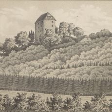
The mountain gained a surveying tower in the early 1800s that became essential for regional mapping work. Later it served as a relay point in an optical telegraph network connecting distant cities.
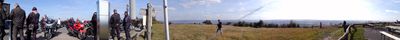
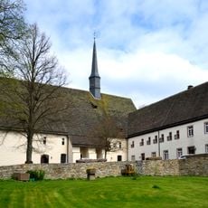
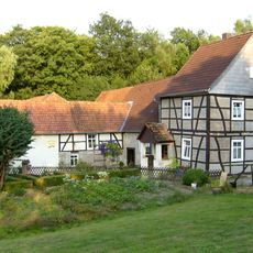
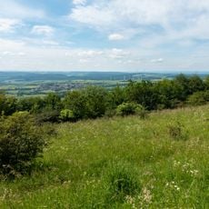
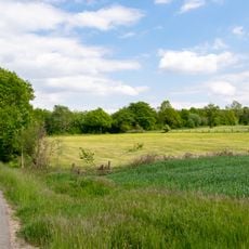
The mountain holds meaning for hikers and locals who gather at the restaurant to enjoy views across the borderland. It serves as a gathering point where people from both states meet for outdoor recreation.
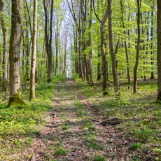
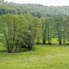
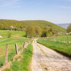
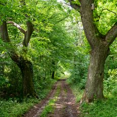
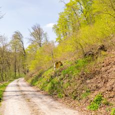
Several hiking paths climb to the summit and suit different fitness levels. Bring sturdy footwear and plan time to rest and enjoy the views.
From 1832, light signals were transmitted from here between Berlin and other cities, making it an early long-distance communication system. This method was crucial before electric telegraphy became widespread.
Location: North Rhine-Westphalia
Location: Lower Saxony
Elevation above the sea: 495.8 m
GPS coordinates: 51.85539,9.32396
Latest update: December 7, 2025 20:22
Kloster Brenkhausen
6.2 km
Burg Polle
7.4 km
Tonenburg
7.1 km
Kloster Falkenhagen
4 km
Oldenburg
6.9 km
St. Joseph
7.1 km
St. Georg
7.5 km
St. Johannes Baptist (Brenkhausen)
6.1 km
Saint Anne Church
7.6 km
Osterberg
6.4 km
Jüdischer Friedhof
2.8 km
Kiekenstein
7.6 km
St. Anna
2.9 km
Jüdischer Friedhof Stahle
7.5 km
Jewish cemetery, Vörden, Marienmünster
7.4 km
Paradiesmühle
3.7 km
St. Michael
4 km
Räuschenberg
6.6 km
Ilsenbach
6.6 km
LSG-Pyrmonter Bergland sowie suedliches Lipper Bergland
5 km
LSG-Feldberg mit Loesshangzone, Orttal und Twiertal bei Stahle
6.6 km
LSG Talbereich am Sperlberg
4.7 km
LSG Bachtal westlich Rischenau
4.6 km
LSG Bachtal nördlich Biesterfeld
4.4 km
LSG-Saumerbachtal mit noerdlich angrenzender Loess-Hangzone bei Albaxen
5.1 km
Klosterkirche Falkenhagen
4.1 km
LSG-Buchenwaelder am Kukenberg und Stieltalsberg
6.8 km
LSG Oberlauf des Ilsenbach südlich Rischenau
3.8 kmVisited this place? Tap the stars to rate it and share your experience / photos with the community! Try now! You can cancel it anytime.
Discover hidden gems everywhere you go!
From secret cafés to breathtaking viewpoints, skip the crowded tourist spots and find places that match your style. Our app makes it easy with voice search, smart filtering, route optimization, and insider tips from travelers worldwide. Download now for the complete mobile experience.
A unique approach to discovering new places❞
— Le Figaro
All the places worth exploring❞
— France Info
A tailor-made excursion in just a few clicks❞
— 20 Minutes