
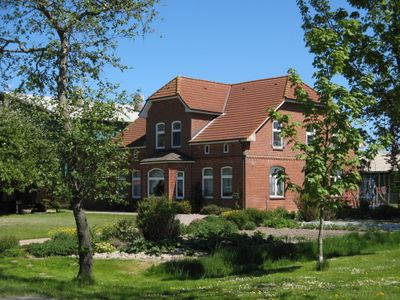
Karolinenkoog, municipality of Germany
Location: Dithmarschen
Elevation above the sea: 2 m
Website: http://amt-eider.de/index.php/ueber-die-gemeinden/die-34-gemeinden/178-gemeinde-karolinenkoog.html
GPS coordinates: 54.29222,8.96528
Latest update: March 8, 2025 08:35

St. Laurentiuskirche
5.9 km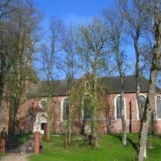
St. Nicholas Church
6.1 km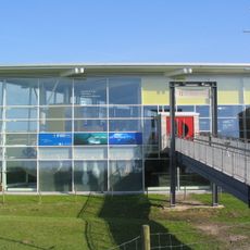
Multimar Wattforum
3 km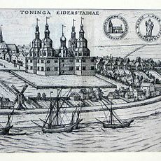
Tönning Castle
3 km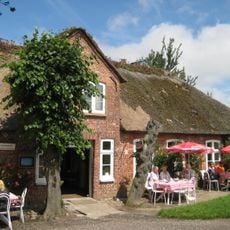
Schankwirtschaft Andresen
8.4 km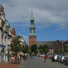
St. Lawrence Church
3.2 km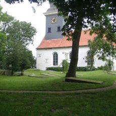
Geschlechterfriedhof Lunden
5.9 km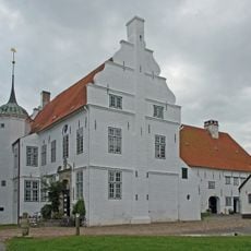
Herrenhaus Hoyerswort
7.5 km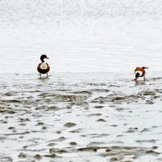
Grüne Insel mit Eiderwatt
4.2 km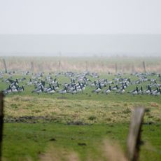
Dithmarscher Eidervorland mit Watt
3.4 km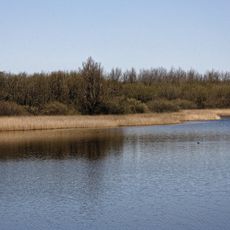
Untereider
3.1 km
Herrenhaus Hoyerswort
7.5 km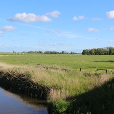
Oldensworter Vorland
4.5 km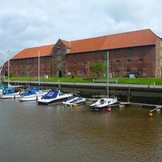
Tönninger Packhaus
2.8 km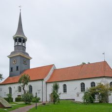
Couvent des Franciscains de Lunden
5.9 km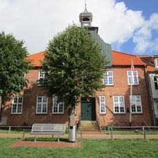
Schifferhaus
2.9 km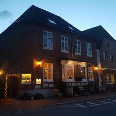
Schlosspark
3 km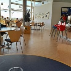
Multimar Wattforum
2.9 km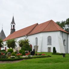
St. Marien-Kirche
3.5 km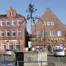
Marktbrunnen (Tönning)
3.1 km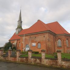
St. Jacobi
6.4 km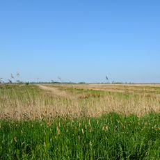
Lundener Niederung westlich des Umleitungsvorfluters
5.3 km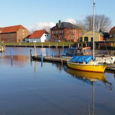
Kanalpackhaus
2.8 km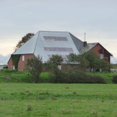
Haubarg
5.2 km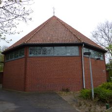
St.Pauls church Tönning
3 km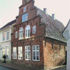
Wohnhaus
3.1 km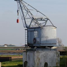
Hafenkran von 1935
2.9 km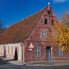
Ehemaliges Altersheim
3.2 kmReviews
Visited this place? Tap the stars to rate it and share your experience / photos with the community! Try now! You can cancel it anytime.
Discover hidden gems everywhere you go!
From secret cafés to breathtaking viewpoints, skip the crowded tourist spots and find places that match your style. Our app makes it easy with voice search, smart filtering, route optimization, and insider tips from travelers worldwide. Download now for the complete mobile experience.

A unique approach to discovering new places❞
— Le Figaro
All the places worth exploring❞
— France Info
A tailor-made excursion in just a few clicks❞
— 20 Minutes