Dierdorf, municipality of Germany
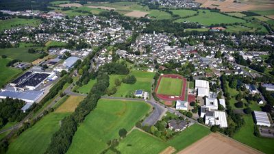
Dierdorf is an urban municipality in Rhineland-Palatinate that serves as an administrative center with a core town and four districts. It offers a hospital, schools, kindergartens, a nursing home, and a range of shops and services for daily needs.
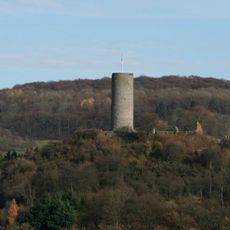
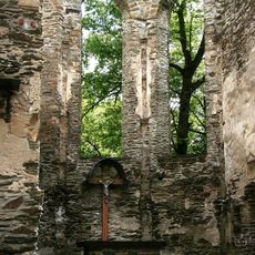
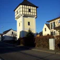
Dierdorf was founded around 1100 by the Herren von Isenburg and officially received town rights in 1357 with walls and towers. The town changed hands multiple times, suffered severe damage from a fire in 1872 and from bombing in 1945, and was later rebuilt.
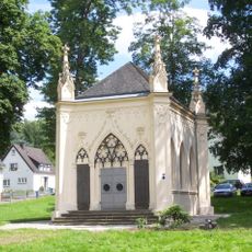
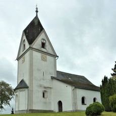
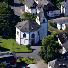
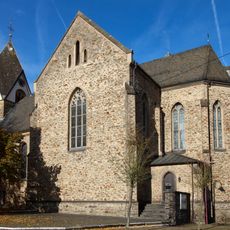
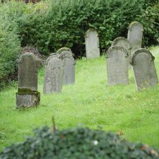
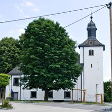
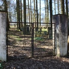
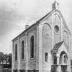
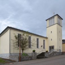
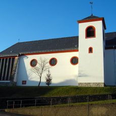
The name Dierdorf reflects its medieval origins tied to the noble family of the Herren von Isenburg who founded it. Both a Catholic and Protestant church shape the town's identity today, serving as visible markers of the community's long religious traditions.
The town is conveniently located on the A3 motorway and is accessible from several airports including Cologne/Bonn, Frankfurt, and Frankfurt/Hahn. The core town and its districts are easy to navigate, and medical care on-site is reliable.
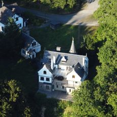
A clock mechanism from 1772 built by clockmaker Christian Kinzig still marks the time for the town from the old tower. In the former castle garden, a small pond with islands now hosts a mini-golf course for visitors.
The community of curious travelers
AroundUs brings together thousands of curated places, local tips, and hidden gems, enriched daily by 60,000 contributors worldwide.