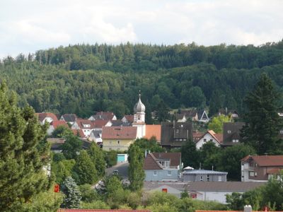
Wüstenrot, municipality in the Mainhardter Forest with about 6,800 inhabitants
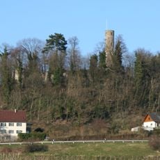
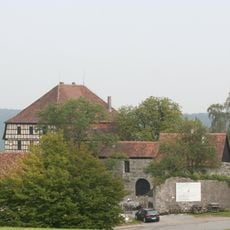
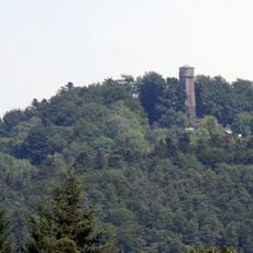
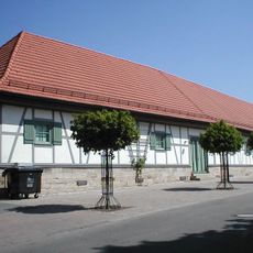
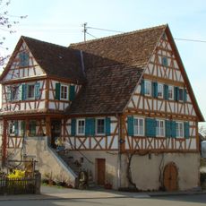
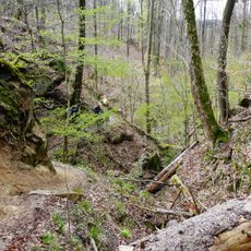
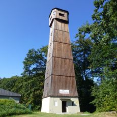
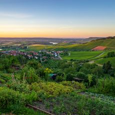
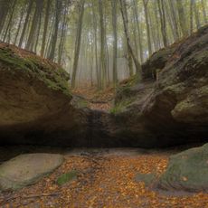
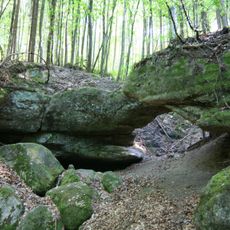
Wüstenrot is a rural municipality in the Heilbronn district, set among forests, rolling hills, and small lakes. The area includes the hilltop castle Burg Maienfels, two museums dedicated to glassmaking and local savings history, and the Steinknickle observation tower.
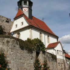
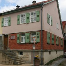
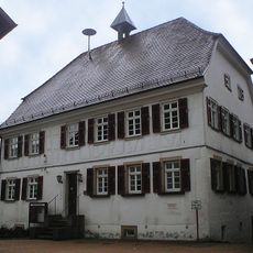
The settlement dates to medieval times, and Burg Maienfels was first built in the 13th century. In the 19th century, the concept of building savings was developed here and later spread across the world.
A local museum shows how glassmakers worked in this area over many centuries, with tools, objects and explanations that bring the craft close to visitors. The displays are hands-on enough that even those unfamiliar with the trade can follow the process clearly.
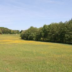
Most sites are reached on foot along forest and hill paths, so sturdy shoes are a good idea. From spring through autumn the paths are dry and the cafes near the lakes are open, making it a good season to visit.
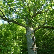
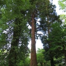
The Himmelsleiter is a wooden staircase carved from a single Douglas fir, allowing visitors to climb up into the treetops. The name translates to sky ladder, which fits the feeling of rising above the forest floor with each step.
The community of curious travelers
AroundUs brings together thousands of curated places, local tips, and hidden gems, enriched daily by 60,000 contributors worldwide.