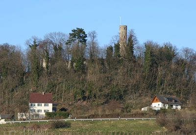
Burg Löwenstein, Medieval tower in Löwenstein, Germany
Burg Löwenstein is a medieval tower castle built from sandstone on a hill above the town of Löwenstein in Baden-Württemberg. The site includes a central tower with a polygonal floor plan, along with the remains of outer defensive walls and secondary structures arranged around it.
The castle was built in the late 11th century by the Counts of Calw on a commanding position above the valley. In the late 15th century, new structures were added to the site to adapt it to changes in how fortifications were built and used.
The name of the castle comes from the lion coat of arms of its founders, and the connection is still visible in the town's name and local symbols today. Visitors who look closely at the site can spot traces of how the building was used and adapted by different families over the centuries.
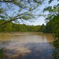
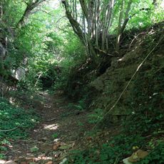
The castle is reachable on foot from the center of Löwenstein, with a path that rises gradually through the surrounding landscape. Sturdy footwear is a good idea, as the ground can be uneven or slippery depending on the weather.
Looking closely at the outer walls reveals sections from different building phases, as the stonework was reworked several times over the centuries. This makes the castle an unusual record of how construction techniques changed, readable directly on the surface without needing any specialist knowledge.
The community of curious travelers
AroundUs brings together thousands of curated places, local tips, and hidden gems, enriched daily by 60,000 contributors worldwide.