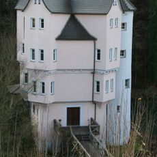
Löwenstein, municipality in Germany
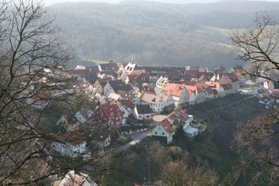
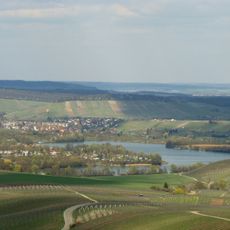
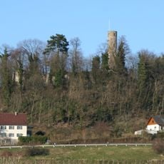
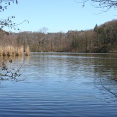
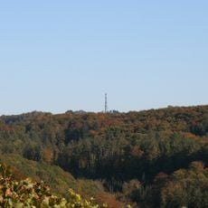
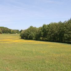
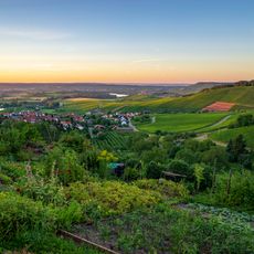
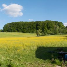
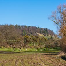
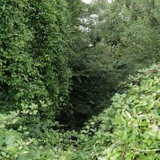
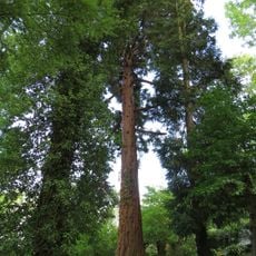
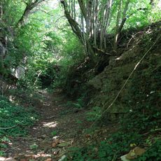
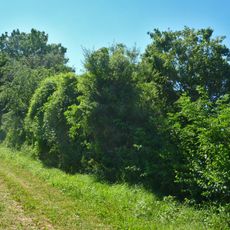
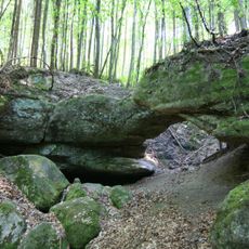
Löwenstein is a small town on a hill in the Heilbronn region, surrounded by forests and vineyards. The ruins of a medieval castle rise above the town on rocky ground and offer views across a nearby lake and the Weinsberg Valley toward the Neckar River at Heilbronn.
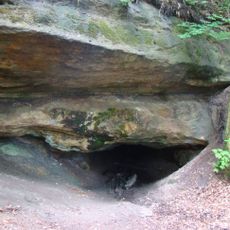
The castle was founded between the late 11th and early 12th centuries by Count Calw and later passed to the Habsburgs and the Palatinate region. It burned down in 1512, destroying much of the structure, and its stones were reused for other local buildings like the town church.
The ruins form the heart of local identity and storytelling in Löwenstein. Visitors can observe how the castle remains shape the landscape and come alive through guided tours and seasonal events that bring medieval life to the present.
The castle is not directly accessible by car, but parking is available in the village or at viewpoints like Löwensteiner Platte. From March to October the ruins are staffed on Sundays and selected Saturdays, offering free tours, access to the open tower, and barbecue areas with covered seating.
A local legend tells of a white maiden who once watched over the castle during times of trouble and danger. This story is woven into the site's local lore and shared with visitors during tours, bridging the past with those who visit today.
The community of curious travelers
AroundUs brings together thousands of curated places, local tips, and hidden gems, enriched daily by 60,000 contributors worldwide.