
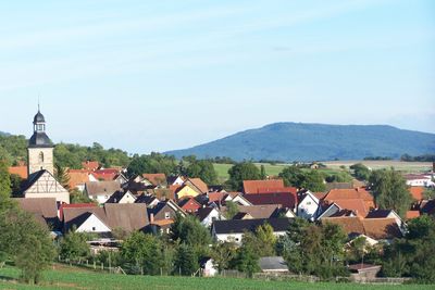
Grabfeld, municipality of Thuringia, Germany
Location: Schmalkalden-Meiningen
Elevation above the sea: 360 m
Website: https://grabfeld.de
GPS coordinates: 50.45000,10.43333
Latest update: March 30, 2025 23:39
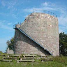
Burg Henneberg
6.9 km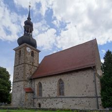
St.-Leo-Kirche Bibra
2.2 km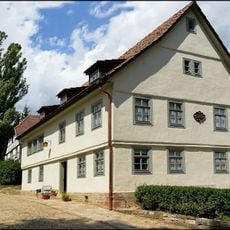
Schiller house (Bauerbach)
6.2 km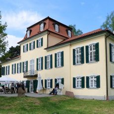
Jagdschloss Fasanerie
8.4 km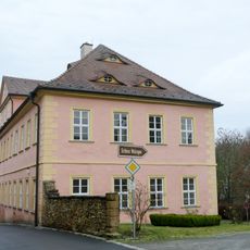
Schloss
6 km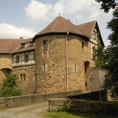
Castle Bibra
2.2 km
Gut Amalienruh
7.6 km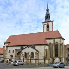
Stiftskirche Römhild
9.5 km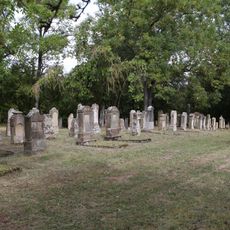
Jüdischer Friedhof Berkach
2.9 km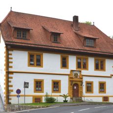
Unteres Schloss
2.3 km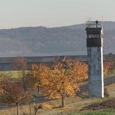
Grenzdenkmal Berkach
3.6 km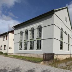
Synagoge (Berkach)
2.9 km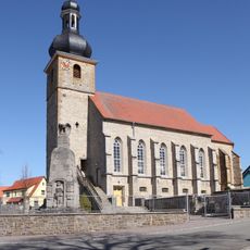
Johanniskirche
8.7 km
Protestant Church (Henneberg)
7.2 km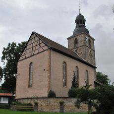
Zur-Hilfe-Gottes-Kirche
1.5 km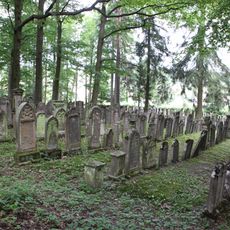
Jüdischer Friedhof Bauerbach
5.8 km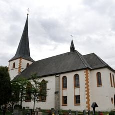
Sankt-Ägidius-Kirche (Wolfmannshausen)
2.9 km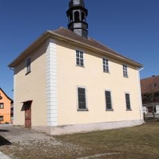
Kirche Zum Kripplein Jesu
5.9 km
Rathaus
8.5 km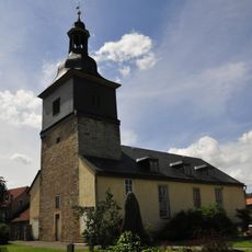
St. Johannes (Haina)
8.7 km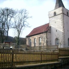
Protestant Church (Ritschenhausen)
6.7 km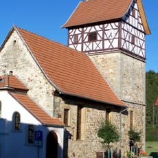
Dorfkirche Rentwertshausen
775 m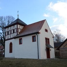
Kirche
5.3 km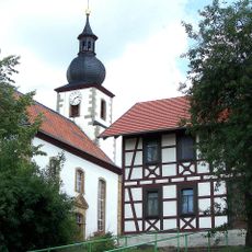
Dorfkirche Schwickershausen
4.4 km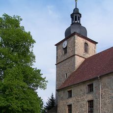
Dorfkirche Exdorf
7.8 km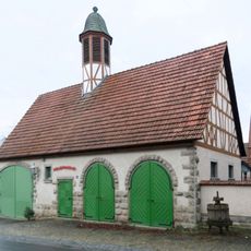
Feuerwehrgerätehaus
5 km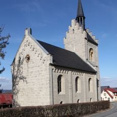
St. Johannis (Wachenbrunn)
10.8 km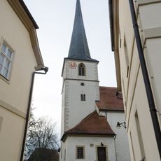
Pfarrkirche
8.5 kmReviews
Visited this place? Tap the stars to rate it and share your experience / photos with the community! Try now! You can cancel it anytime.
Discover hidden gems everywhere you go!
From secret cafés to breathtaking viewpoints, skip the crowded tourist spots and find places that match your style. Our app makes it easy with voice search, smart filtering, route optimization, and insider tips from travelers worldwide. Download now for the complete mobile experience.

A unique approach to discovering new places❞
— Le Figaro
All the places worth exploring❞
— France Info
A tailor-made excursion in just a few clicks❞
— 20 Minutes