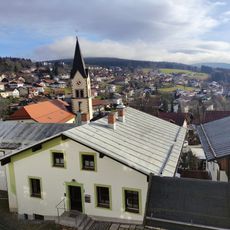
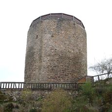
Sankt Englmar, municipality of Germany
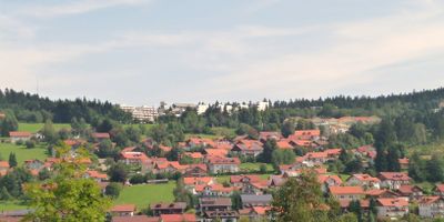
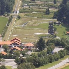
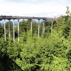
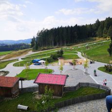
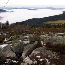
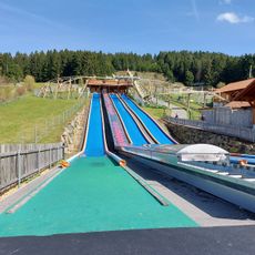
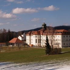
Sankt Englmar is a small municipality nestled in the Bavarian Forest, surrounded by rolling hills and dense woodlands in Lower Bavaria. The village centers on a traditional church dedicated to the local saint, and offers a treetop walk called Waldwipfelweg with towers and slides, winter ski slopes, forest trails for hiking and biking, and the Bayerwald Xperium science center with interactive exhibits.
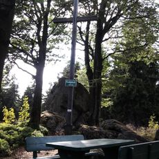
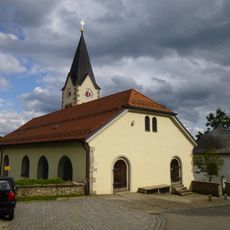
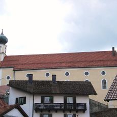
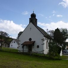
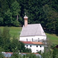
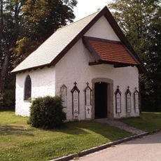
The town originates from Saint Englmar, a hermit of the late 11th century revered in the region who became a pilgrimage destination after his death. A church was built over his grave, and religious devotion to the site has been central to the place for over 900 years.
The town is named after Saint Englmar, a hermit from the 11th century whose veneration shapes community life to this day. The yearly search procession and December folk night with masked figures and bonfires show how this tradition remains woven into local identity and visitor experience.
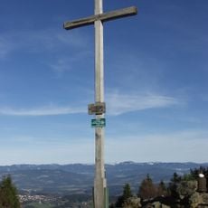
The place is easily reached by car or regional bus from larger cities like Passau and Regensburg, though there is no railway station. Visitors find modest guesthouses and small hotels, and the walking trails are clearly marked and suitable for beginners and families of all fitness levels.
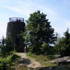
The Waldwipfelweg treetop walk lets visitors experience the forest from the height of the canopy with climbing towers and slides for children and adults. This perspective on the Bavarian Forest reveals details and views that ground-level hiking alone cannot offer.
The community of curious travelers
AroundUs brings together thousands of curated places, local tips, and hidden gems, enriched daily by 60,000 contributors worldwide.