
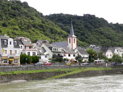
Kestert, municipality of Germany
Location: Verbandsgemeinde Loreley
Location: Rhein-Lahn-Kreis
Elevation above the sea: 70 m
Shares border with: Boppard, Kamp-Bornhofen
Website: http://kestert.de
GPS coordinates: 50.18556,7.65000
Latest update: March 4, 2025 08:25
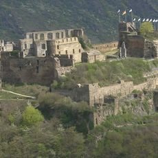
Rheinfels Castle
5.2 km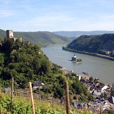
Rhine Gorge
3.4 km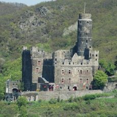
Maus Castle
3.6 km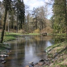
Kloster Marienberg
6.2 km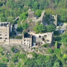
Liebenstein Castle
3.2 km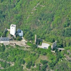
Sterrenberg Castle
3.3 km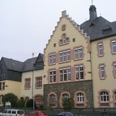
Kant-Gymnasium Boppard
6.1 km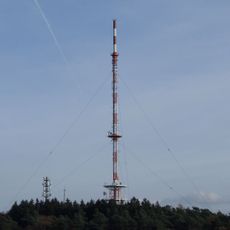
Fleckertshöhe
3.2 km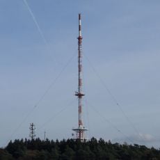
Sender Boppard
3.3 km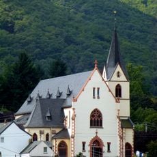
St. Aegidius
2.4 km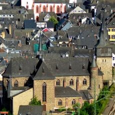
Katholische Kirche Sankt Goar
5.7 km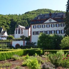
Propstei Hirzenach
997 m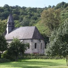
Peterskapelle (Spay)
7.2 km
Dinkholder Mühle
7.2 km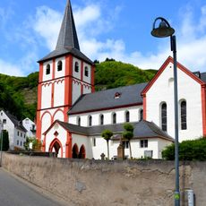
St. Bartholomäus
1 km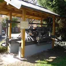
Wasserpumpe Lykershausen
2.5 km
Hintere Dick-Eisenbolz
3.2 km
Jüdischer Friedhof Buchenau
5.3 km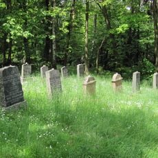
Jüdischer Friedhof
4.5 km
Villa Brosius
1 km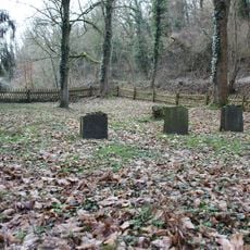
Jüdischer Friedhof
6.3 km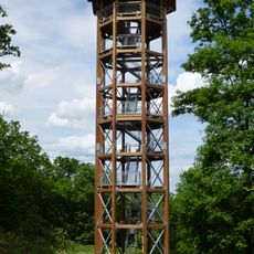
Fünfseenblick
2.6 km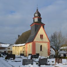
Saint Peter in chains Church (Weiler, Boppard)
1.4 km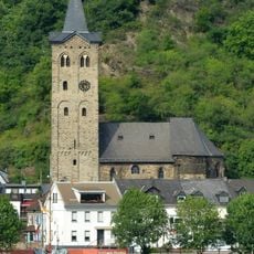
Saint Martin's Church (Wellmich)
3.5 km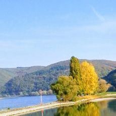
Auf der Schottel
6.7 km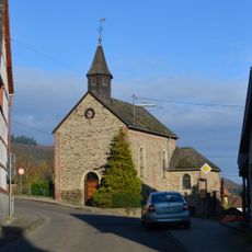
St. Sebastian (Rheinbay)
2.3 km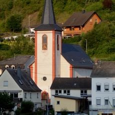
Saint George Church
154 m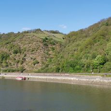
Rheinhänge zwischen Lahnstein und Kaub
4.1 kmVisited this place? Tap the stars to rate it and share your experience / photos with the community! Try now! You can cancel it anytime.
Discover hidden gems everywhere you go!
From secret cafés to breathtaking viewpoints, skip the crowded tourist spots and find places that match your style. Our app makes it easy with voice search, smart filtering, route optimization, and insider tips from travelers worldwide. Download now for the complete mobile experience.

A unique approach to discovering new places❞
— Le Figaro
All the places worth exploring❞
— France Info
A tailor-made excursion in just a few clicks❞
— 20 Minutes