Karkopf, Mountain summit in the Lattengebirge, Bavaria, Germany
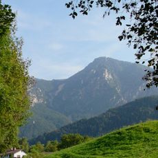
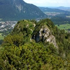
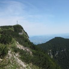
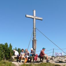
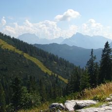
The Karkopf is the highest peak of the Lattengebirge in Bavaria, reaching 1,738 m. It sits exactly on the boundary between Bayerisch Gmain (Forst St. Zeno) to the west and Bischofswiesen (Bischofswiesener Forst) to the east. Its summit is reached by paths such as the Alpgartensteig, which has an easy klettersteig character with ladders, steps and cables.
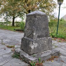
The Karkopf lies on the municipal boundary between Bayerisch Gmain (Forst St. Zeno) and Bischofswiesen (Bischofswiesener Forst), a line recorded in the Bavarian boundary descriptions. The Alpgartensteig, one of the summit routes, is secured with ladders, steps and cables and is rated an easy klettersteig, passable only by experienced, sure-footed walkers with a head for heights.
The Karkopf lies on the municipal boundary: the western side belongs to Bayerisch Gmain (Forst St. Zeno), the eastern side to Bischofswiesen (Bischofswiesener Forst). Hikers on the Alpgartensteig pass ladders, steps and cable protections, a secured section that requires sure-footedness and a head for heights.
The ascent follows longer hiking paths through forest and alpine terrain with significant elevation gain. Sturdy boots and good weather are important since the upper sections are exposed and windy.
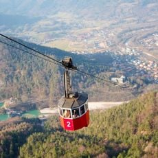
The Alpgartensteig route to the summit has an easy via ferrata character, with ladders, steps and steel cables as protection; it demands sure-footedness and a head for heights. From the top, walkers can continue to the Predigtstuhl cable car top station and descend by cable car to Bad Reichenhall.
The community of curious travelers
AroundUs brings together thousands of curated places, local tips, and hidden gems, enriched daily by 94,328 contributors worldwide.