
Vollersroda, municipality of Germany
Location: Weimarer Land
Elevation above the sea: 342 m
Website: https://vollersroda.de
GPS coordinates: 50.93722,11.33139
Latest update: March 7, 2025 01:32

Schloss Belvedere
1.8 km
Haus Hohe Pappeln
2.6 km
Roter Turm
2 km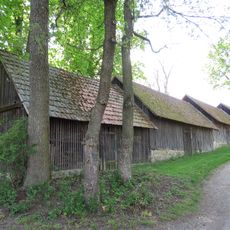
Bohrstockschuppen
2 km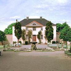
Gärtnerhaus im Schlosspark Belvedere bei Weimar
2 km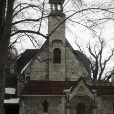
Friedhofskapelle Ehringsdorf
2.7 km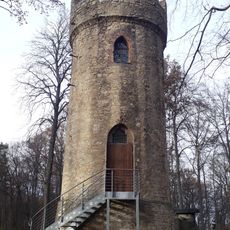
Hainturm
2.4 km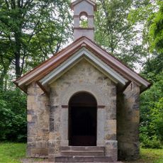
Eishaus Schloss Belvedere
1.5 km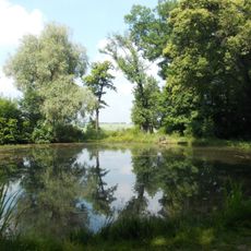
Schirmteich
1.5 km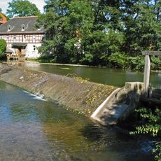
Ilmmühle Taubach
3.5 km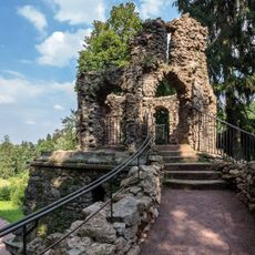
Große Grotte
1.5 km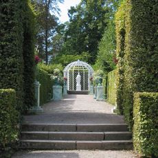
Russischer Garten
1.6 km
Hedge Theatre in the Belvedere Park
1.6 km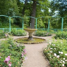
Rosenberceau
1.8 km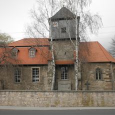
Possendorf Church
1.4 km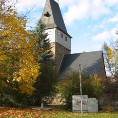
St. Marien (Ehringsdorf)
2.8 km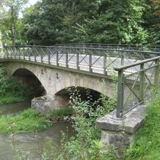
Tiefurter Brücke
3 km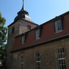
Dorfkirche Legefeld
2.7 km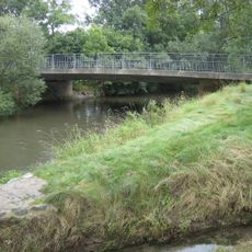
Ehringsdorfer Brücke
3 km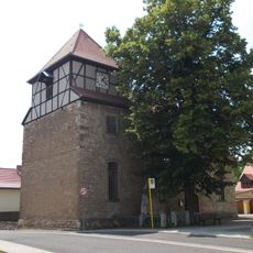
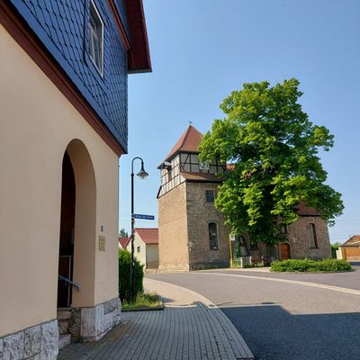
Dorfkirche Vollersroda
182 m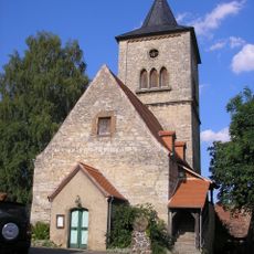
Our Lady Church (Buchfart)
1.7 km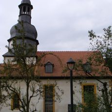
Dorfkirche Oettern
2.5 km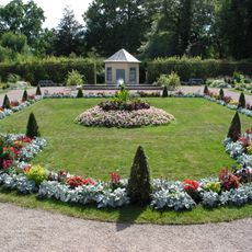
Neuholländergarten
1.9 km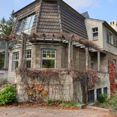
Haus Hohe Pappeln
2.6 km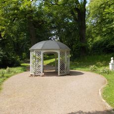
Rosenlaube
1.8 km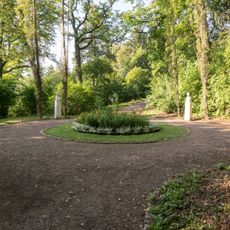
Viergelehrtenplatz
1.9 km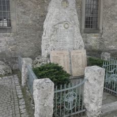
War memorial Vollersroda
181 m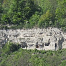
Felsenburg Buchfart
1.6 kmVisited this place? Tap the stars to rate it and share your experience / photos with the community! Try now! You can cancel it anytime.
Discover hidden gems everywhere you go!
From secret cafés to breathtaking viewpoints, skip the crowded tourist spots and find places that match your style. Our app makes it easy with voice search, smart filtering, route optimization, and insider tips from travelers worldwide. Download now for the complete mobile experience.

A unique approach to discovering new places❞
— Le Figaro
All the places worth exploring❞
— France Info
A tailor-made excursion in just a few clicks❞
— 20 Minutes