
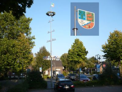
Strümp, subdivision of Meerbusch
Location: Meerbusch
Inception: 1970
Elevation above the sea: 35 m
Website: http://www.meerbusch.de/
Part of: Meerbusch
Shares border with: Schloß Pesch
Website: http://meerbusch.de
GPS coordinates: 51.28389,6.65972
Latest update: March 5, 2025 14:00
Kaiserpfalz Kaiserswerth
5.3 km
Haus Meer
2.2 km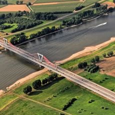
Flughafenbrücke
3.2 km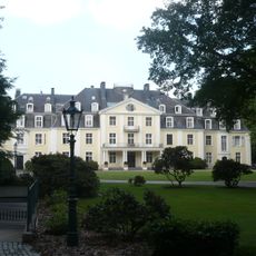
Schloß Pesch
1.8 km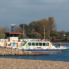
Rheinfähre Langst-Kaiserswerth
4.9 km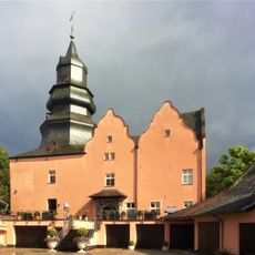
Dyckhof
5 km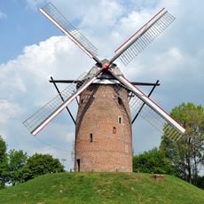
Geismühle
3.5 km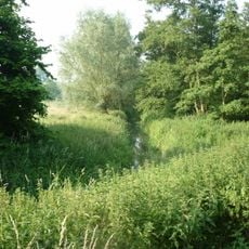
Ilvericher Altrheinschlinge
852 m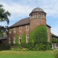
Haus Gripswald
2.4 km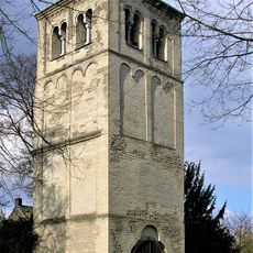
Alter Kirchturm (Büderich)
4.3 km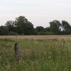
Latumer Bruch
3.6 km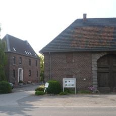
Haus Latum
3.3 km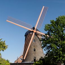
Teloy-Mühle
2.8 km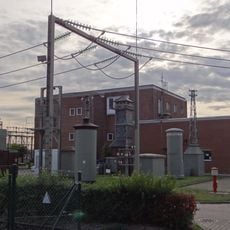
Elektrothek Osterath
3.4 km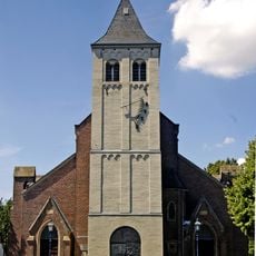
St. Nikolaus
3.2 km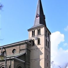
St Stephen's Church
2.5 km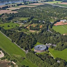
Am Staad waterworks
5.4 km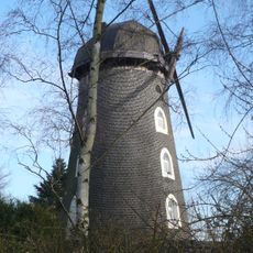
Osterather Windmühle
4 km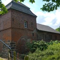
Haus Leuchtenberg
4.3 km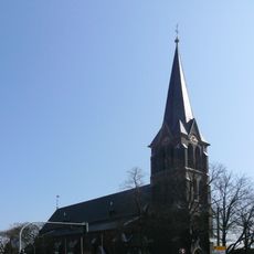
Saint Maurice Church
4.2 km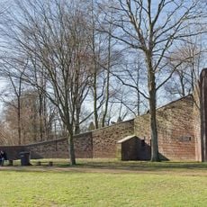
Autobahnkapelle Geismühle
3.6 km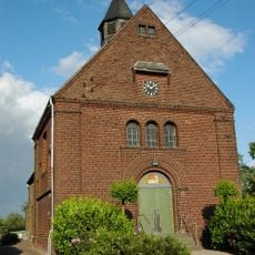
Kapelle St Pankratius
2.7 km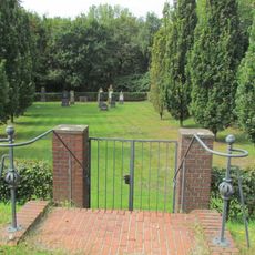
Jüdischer Friedhof Lank-Latum
2.1 km
Haus Kaesbach
5.3 km
Niederdonk Chapel
4.8 km
Die Buersbach
3.1 km
Meerbusch
3.1 km
Evangelische Kirche (Osterath)
2.9 kmReviews
Visited this place? Tap the stars to rate it and share your experience / photos with the community! Try now! You can cancel it anytime.
Discover hidden gems everywhere you go!
From secret cafés to breathtaking viewpoints, skip the crowded tourist spots and find places that match your style. Our app makes it easy with voice search, smart filtering, route optimization, and insider tips from travelers worldwide. Download now for the complete mobile experience.

A unique approach to discovering new places❞
— Le Figaro
All the places worth exploring❞
— France Info
A tailor-made excursion in just a few clicks❞
— 20 Minutes