Chest opened
+${chestReward.xp} XP
Explorer
NOUVEAU ×${chestReward.collectible.quantity}
tapez pour fermer
Chest locked

Open chests in the app

Around Us is built for your phone — chests unlock when you walk, explore and capture nearby places.

Enable Location

We need your location to show you interesting places around you

Discover nearby places

Find interesting locations and hidden gems around you

Precise directions

Get accurate directions and distances to places

Your location is never shared with other users. It's only used when you tap the location button.

Log in to your account

Start exploring — it's free

Trusted by 72,874 travelers worldwide

Continue with Google
Continue with Apple
or

We will send you a code to connect

By continuing, you accept our Terms and Conditions and our Privacy Policy

Check your inbox

We've sent a pincode in your inbox. Please enter the code below.

Nethegau
Discussion Reviews Photo
1.6k Popularity

Nethegau, Medieval administrative region in North Rhine-Westphalia, Germany

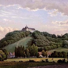
The Nethegau is a medieval administrative region in North Rhine-Westphalia that lies between the Weser River to the west and the Egge ridge to the east. The terrain features the Brakel Upland and sits within the Höxter district, where rolling hills and river valleys define the landscape.

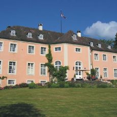
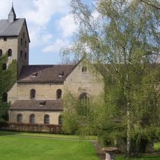
This territory emerged as an administrative division during the Saxon period when local counts held authority over the land. Later in the Middle Ages, portions gradually transferred to Corvey Abbey, which gained growing influence over parts of the region.

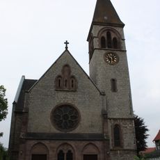
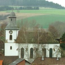
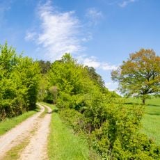
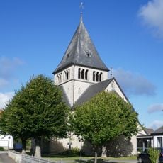
The settlements that developed along the river still shape how communities here organize themselves and celebrate local traditions. You can observe this continuity in how towns like Brakel and Bad Driburg maintain their connection to the river and the surrounding rural landscape.

Visitors explore this area best through the towns of Brakel and Bad Driburg, which serve as the main entry points. From there, the river valleys and rolling hills are accessible on foot or by bike.

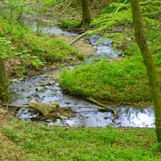
The name comes from the River Nethe, and old documents show it was written in various ways such as Netago, Netga, and Nithega. These different spellings reveal how medieval scribes recorded the same place in different forms.

The community of curious travelers

AroundUs brings together thousands of curated places, local tips, and hidden gems, enriched daily by 60,000 contributors worldwide.
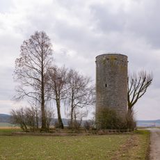
Start exploring
GPS coordinates
51.70000,9.16667
Latest update
December 14, 2025 14:23
Reviews
Share your experience

No review yet

Discussions
Start a discussion...

No discussion yet

« Nethegau - Medieval administrative region in North Rhine-Westphalia, Germany » is provided by Around Us (aroundus.com). Images and texts are derived from Wikimedia project under a Creative Commons license. You are allowed to copy, distribute, and modify copies of this page, under the conditions set by the license, as long as this note is clearly visible.

Discover hidden gems everywhere you go!

From secret cafés to breathtaking viewpoints, skip the crowded tourist spots and find places that match your style. Our app makes it easy with voice search, smart filtering, route optimization, and insider tips from travelers worldwide. Download now for the complete mobile experience.

Around Us App Screenshot

A unique approach to discovering new places

Le Figaro

All the places worth exploring

France Info

A tailor-made excursion in just a few clicks

20 Minutes

Around Us
Travel Guide & Maps
Download

Send to your phone

QR Code
1

Open the camera app on your mobile.

2

Point at the QR code with your camera. A notification will appear.

3

Tap the notification to open the link.