Borberg, Mountain summit in the Rothaar Mountains, North Rhine-Westphalia, Germany
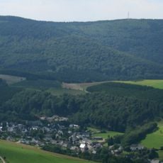
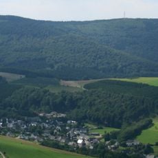
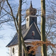
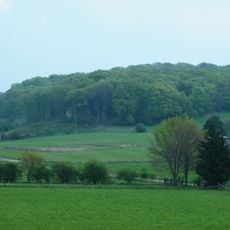
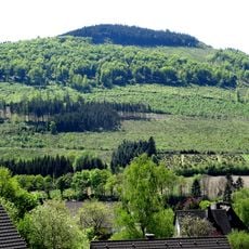
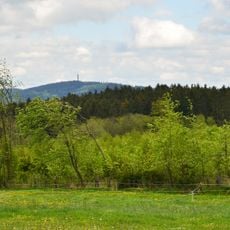
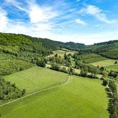
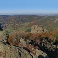
Borberg is a 670.2 m high mountain in the Rothaargebirge range near Petersborn in the Hochsauerlandkreis, North Rhine-Westphalia. Its wooded summit rises about 2.5 km southwest of Petersborn, a part of Brilon, and the Brilon–Olsberg boundary runs over its western flank. On the upper southwestern slope lies a small ring wall enclosing the Borbergskirchhof and the Friedenskapelle Brilon.
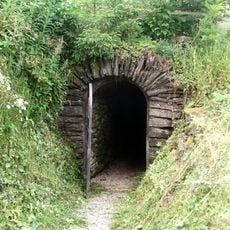
The summit holds a small ringwork of roughly 1.75 hectares with an annex to the north, its gates drawn inward as pincer gates; the northern gate was excavated between 1983 and 1987. Finds are too few for firm dating, but comparisons suggest a pre-Romanesque, Carolingian-Ottonian structure of the 9th to 10th century. Within the rampart lie the foundations of a church with a three-apse choir, excavated 1983 to 1986, whose first building phases date to the 12th century; 16 graves explain the name Borbergskirchhof.
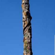
The name Borberg comes not from a castle but from a chapel, as a 1360 register of Geseke Abbey records a capella in Borghardes berghe near Brilon. Pilgrims still walk to the Friedenskapelle Brilon, built in 1923 on the ring wall, which keeps a wooden St Anthony figure dated 1618 and locally called Fickeltünnes.
The marked trails are easy to reach and climb at a steady pace that takes about an hour to the summit. The ascent suits hikers with average fitness levels and provides rest spots along the way.
The summit area holds a small ringwork of about 1.75 hectares with a northern annex, its gate cut inward as a so-called Zangentor; excavations in 1983–1987 uncovered and partly restored the northern gate. Finds are too few for firm dating, but comparisons suggest a pre-Romanesque, Carolingian-Ottonian structure of the 9th or 10th century.
The community of curious travelers
AroundUs brings together thousands of curated places, local tips, and hidden gems, enriched daily by 94,018 contributors worldwide.