Ginsterkopf, Mountain summit in Sauerland, Germany
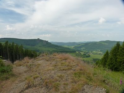
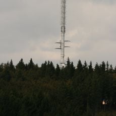
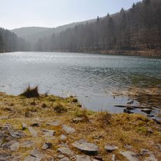
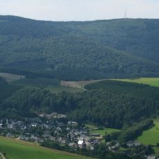
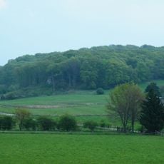
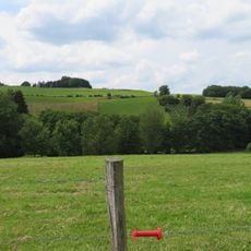
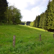
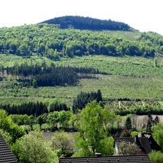
Ginsterkopf is a summit reaching about 661 meters in the Sauerland region with dense forests covering its slopes. Rocky trails wind through brown and green pine woodlands that define the landscape.
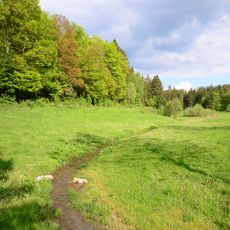
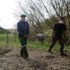
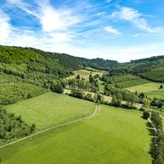
The mountain was shaped over generations through the traditional Schnade ceremony, where locals walk territorial boundaries. This ancient boundary-marking tradition has long connected people to the landscape.
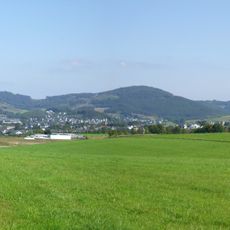
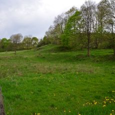
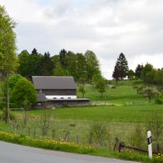
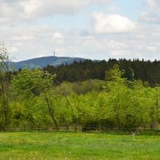
The hiking routes on the mountain connect neighboring villages and are regularly used by locals for outdoor activities together. Summit walks are a regular part of local leisure culture and create meeting points between communities.
Hikers can start from Schützenhalle in Brilon-Wald or from the Feuereiche parking area on road L743. Marked trails guide visitors through the terrain, and the routes require moderate walking ability.
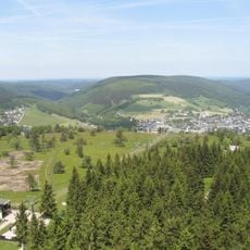
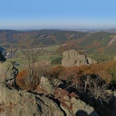
From the summit, the Bruchhauser Steine rocky volcanic formations rise visibly above the surrounding forest. These distinctive rock towers create a striking contrast against the woodland.
The community of curious travelers
AroundUs brings together thousands of curated places, local tips, and hidden gems, enriched daily by 60,000 contributors worldwide.