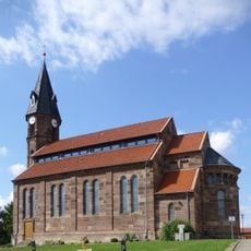
Höherberg, Summit and mountain in Lower Saxony, Germany.
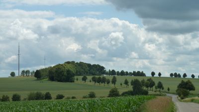
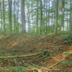
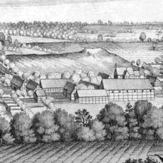
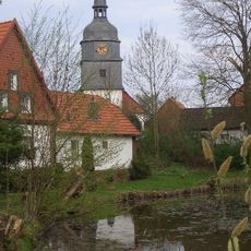
Hoherberg is a mountain in Lower Saxony with a summit elevation of 242 meters located in the Eichsfelder Becken region. Gradual slopes covered in natural vegetation define its character and shape the hiking routes across its terrain.
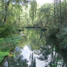
The mountain formed through geological processes that shaped the Lower Saxony landscape over long periods. These natural forces created both the elevated summit and the basin terrain below.
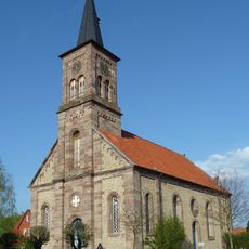
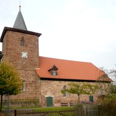
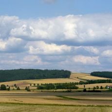
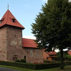
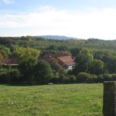
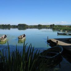
The surrounding valleys show traditional farming patterns that shape the landscape, with fields and pastures visible from the slopes. Visitors experience this living connection between farming life and the natural terrain while walking through the area.
Multiple hiking trails connect different sections of the mountain, allowing visitors to choose routes based on their fitness level. Parking areas at the base provide straightforward access for people of all abilities.
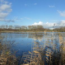
From the summit, the fertile plains of the basin stretch out clearly below in sharp contrast to the elevated terrain. This perspective shows how the mountain sits within the broader landscape geography.
The community of curious travelers
AroundUs brings together thousands of curated places, local tips, and hidden gems, enriched daily by 60,000 contributors worldwide.