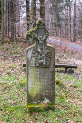
Messerkerl, Memorial cross in Teutoburg Forest, Germany
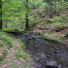
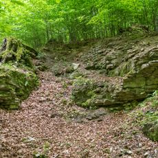
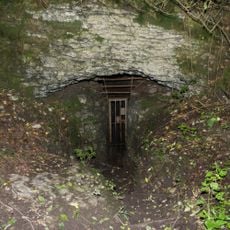
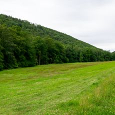
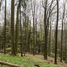
Messerkerl is a sandstone memorial cross located at 400 meters elevation on the Spellerberg plateau, positioned at the boundary where three municipalities meet in the Teutoburg Forest. The monument sits within a nature park and can be seen from a distance due to its elevated location.
The cross was erected in 1752 following the death of traveling merchant Albert Meier, who was killed when an attacker poured molten tin into his mouth as he slept at this location. This violent incident highlighted the real threats that merchants faced when crossing remote forest regions.
The cross displays carved details including a crucifixion scene and skull, reflecting how merchants who traveled these remote forest paths faced real dangers in their daily work.
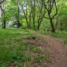
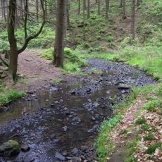
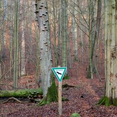
The site is accessible only on foot or by bicycle along a hiking trail through the forest with moderate elevation changes. Wear sturdy shoes as the path follows unpaved trails, and the memorial remains open to visitors throughout the year.
The attacker's fate proved equally grim: he fell into an animal trap and fire that the merchant had set for protection while sleeping. This twist in the tragic story became part of the site's legacy and demonstrates how circumstances shifted in an unexpected way.
The community of curious travelers
AroundUs brings together thousands of curated places, local tips, and hidden gems, enriched daily by 60,000 contributors worldwide.