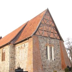
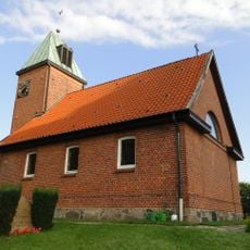
Lauenburg Lakes Nature Park, Nature park in Schleswig-Holstein, Germany.
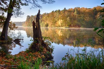
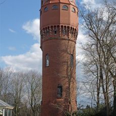
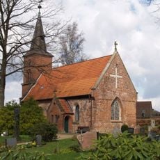
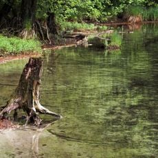
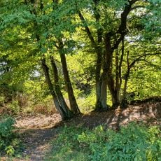
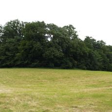
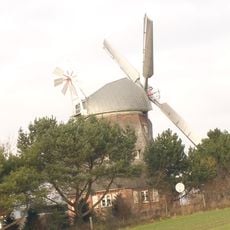
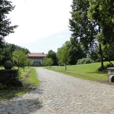
The Lauenburg Lakes Nature Park is a large protected area between Hamburg and Lübeck featuring around 40 lakes and extensive forests. The landscape is hilly with many water features shaped by ancient glaciers.
The park was established in 1960 to protect the glacial landscapes of the region. The lakes and hills were created by glaciers during the last ice age.
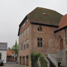
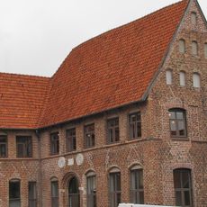
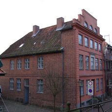
The Old Salt Road from Lüneburg to Lübeck runs through the park, and you can still walk the paths that merchants traveled centuries ago. These routes show how trade shaped the way people lived and moved through this region.
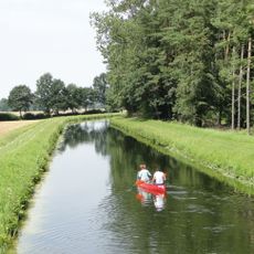
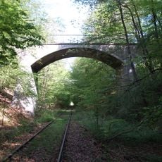
You can enter the park from several locations, with good access points from Ratzeburg and Mölln. There are many marked trails for walking and cycling that connect the lakes and forests.
The park sits at the watershed dividing the North Sea and Baltic Sea, creating two different ecological zones. This location makes it a special place for observing contrasting plant and animal communities.
Location: Krummesse
Location: Mölln
Location: Mustin
Location: Ziethen
Location: Kittlitz
Location: Sterley
Location: Salem
Location: Seedorf
Location: Hollenbek
Location: Langenlehsten
Location: Büchen
Location: Klein Zecher
Location: Bröthen
Location: Horst
Location: Grambek
Location: Fitzen
Location: Gudow
Location: Besenthal
Location: Brunsmark
Location: Göttin
Location: Lehmrade
Location: Ratzeburg
Location: Fredeburg
Location: Albsfelde
Location: Lankau
Location: Harmsdorf
Location: Behlendorf
Location: Schmilau
Location: Giesensdorf
Location: Römnitz
Location: Mechow
Location: Kulpin
Location: Bäk
Location: Einhaus
Location: Buchholz
Location: Berkenthin
Location: Groß Grönau
Location: Groß Disnack
Location: Klempau
Location: Pogeez
Location: Groß Sarau
Inception: 1960
Elevation above the sea: 44 m
GPS coordinates: 53.63330,10.78330
Latest update: December 6, 2025 17:41
Church of Saint Nicholas in Mölln
6 km
Schloss Seedorf
5.9 km
Schaalseekanal
5.3 km
Mölln Water Tower
6 km
Hydroelectric power plant in Farchau
5.3 km
St. Lorenz
3.9 km
Salemer Moor mit angrenzenden Wäldern und Seen
6 km
Müggenburg
5.1 km
Oldenburger Wall
3.8 km
Stadthauptmannshof
6 km
Dreifeldbogenbrücke
4.5 km
Kirche St. Johannes
2.7 km
St. Johannis
2.7 km
Pastorat
6 km
Till-Eulenspiegel-Amboss
5.9 km
Dreiständerscheune Seestraße 44
3.9 km
Windmühle
3.2 km
Gasthaus „Eulenspiegelklause“
6 km
Wasserkraftwerk mit Maschinensatz I
5.4 km
St. Bartholomäuskapelle
3.9 km
Kapelle Salem
3.9 km
Stadtmühle
5.9 km
Wohnhaus Hauptstraße 129
6 km
Am Markt 7
6 km
Gut Kogel: Gutshaus
2.1 km
Stadthauptmannshof: Medaillongebäude
5.9 km
Am Markt 9
6 km
Memorial for fallen soldiers in the First World War
5.7 kmVisited this place? Tap the stars to rate it and share your experience / photos with the community! Try now! You can cancel it anytime.
Discover hidden gems everywhere you go!
From secret cafés to breathtaking viewpoints, skip the crowded tourist spots and find places that match your style. Our app makes it easy with voice search, smart filtering, route optimization, and insider tips from travelers worldwide. Download now for the complete mobile experience.
A unique approach to discovering new places❞
— Le Figaro
All the places worth exploring❞
— France Info
A tailor-made excursion in just a few clicks❞
— 20 Minutes