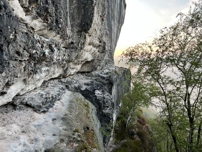
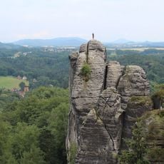
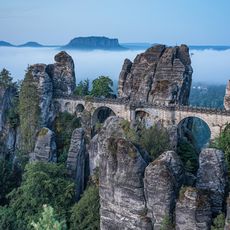
Rahmhanke, Via ferrata in Saxon Switzerland National Park, Germany.
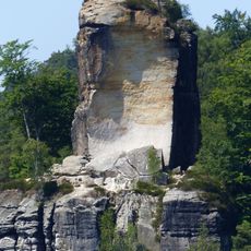
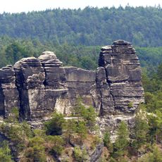
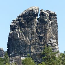
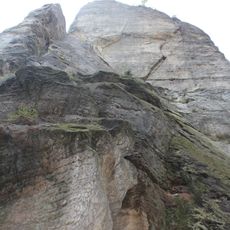
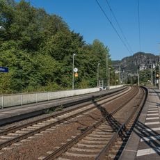
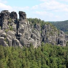
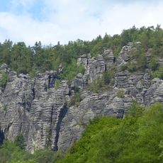
Rahmhanke is a via ferrata that follows a rocky ledge beneath the Bastei formation in Saxon Switzerland, winding through sandstone terrain for several kilometers with significant elevation changes. The route features demanding climbing sections that require experience on steep, exposed rock.
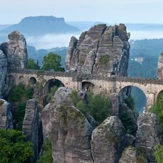
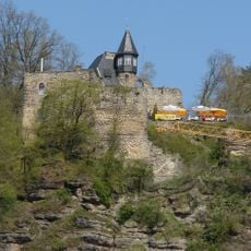
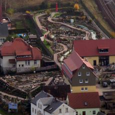
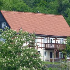
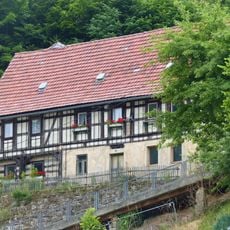
The path originated in medieval times as part of a defense system connecting Altrathen Castle to Neurathen Rock Fortress along the Elbe River. In the 19th century, the nearly forgotten route was rediscovered by mountain travelers and gradually became known.
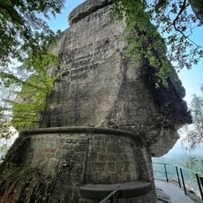
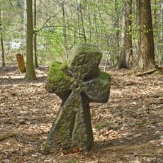
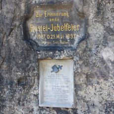
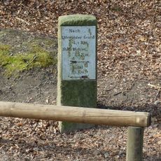
The route takes its name from two inn workers, Emil Max Rahm and Hanke, who rediscovered it in 1895 and carved their names into the rock face. Today visitors encounter this personal mark on the landscape, a reminder of those who found their way through this terrain.
This via ferrata requires advanced climbing skills and should only be attempted in dry weather, as there are no safety installations or support cables. Come prepared with experience in rock climbing, proper equipment, and honest self-assessment of your abilities.
In the 1930s, political activists left graffiti on the rocks as a sign of their commitment, and some of these historical marks remained visible for many years. This unusual layering of history shows how the site became a gathering point for different people and messages across decades.
The community of curious travelers
AroundUs brings together thousands of curated places, local tips, and hidden gems, enriched daily by 60,000 contributors worldwide.