
Laubwald südlich Rheinbach, protected area in the European Union defined by the habitats directive in Nordrhein-Westfalen, Germany
Location: Rheinbach
Inception: 2000
GPS coordinates: 50.59820,6.95803
Latest update: May 14, 2025 21:33
Hexenturm
2.9 km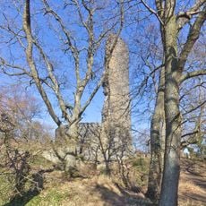
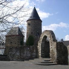
Tomburg Castle
1.2 km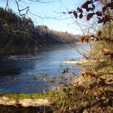
Madbachtalsperre
5.2 km
Rheinbacher Burg
2.9 km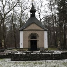
Waldkapelle
547 m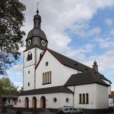
St. Martin (Rheinbach)
3.1 km
St. Martin
2.5 km
Glasmuseum Rheinbach
3 km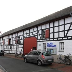
Himmeroder Hof
3 km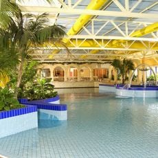
Monte Mare Rheinbach
2.8 km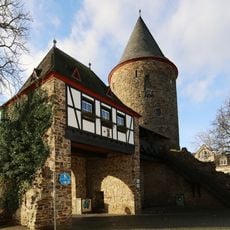
Wasemer Turm
3.1 km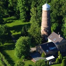
Wasserturm (Rheinbach)
2.2 km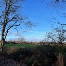
Eifelfuss
2 km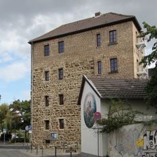
Kallenturm
3.2 km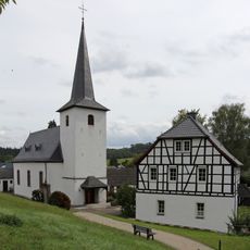
St. Margaretha
2.4 km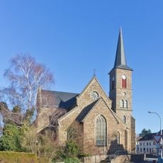
St. Jakobus der Ältere
3.4 km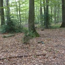
Jüdischer Friedhof Wormersdorf (Rheinbach)
1.3 km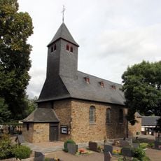
St. Martin (Hilberath)
3.7 km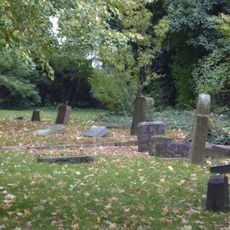
Jüdischer Friedhof
3.5 km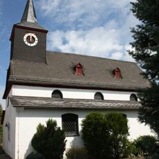
St. Antonius
5 km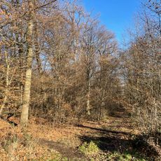
Stiefelsbach und Zuflüsse
1.8 km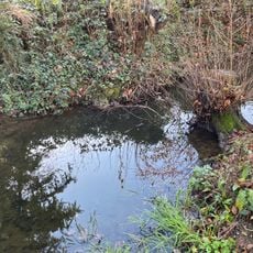
Schlebacher Bach
1.9 km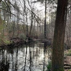
Hackesiefen
3.3 km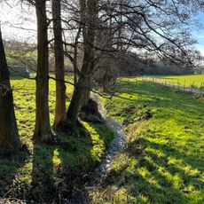
Stiefelsbach
1.4 km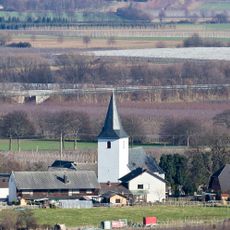
St. Martinus (Ipplendorf)
2.4 km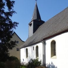
St. Basilides
4.9 km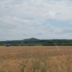
Tomberg
1.2 km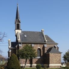
St. Hubertus
2.4 kmReviews
Visited this place? Tap the stars to rate it and share your experience / photos with the community! Try now! You can cancel it anytime.
Discover hidden gems everywhere you go!
From secret cafés to breathtaking viewpoints, skip the crowded tourist spots and find places that match your style. Our app makes it easy with voice search, smart filtering, route optimization, and insider tips from travelers worldwide. Download now for the complete mobile experience.

A unique approach to discovering new places❞
— Le Figaro
All the places worth exploring❞
— France Info
A tailor-made excursion in just a few clicks❞
— 20 Minutes