
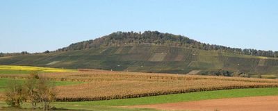
Wunnenstein, Forstberg und Köchersberg mit angrenzenden Gebieten, protected landscape area in Baden-Württemberg, Germany
Location: Heilbronn
Inception: 1989
GPS coordinates: 49.03010,9.26783
Latest update: March 7, 2025 19:30
Burg Lichtenberg
4.7 km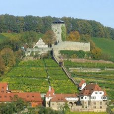
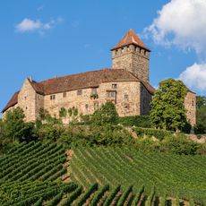
Burg Hohenbeilstein
3.8 km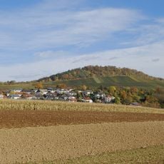
Wunnenstein
756 m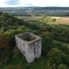
Burg Helfenberg
4.9 km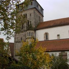
Johanneskirche Oberstenfeld
3.7 km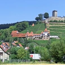
Unteres Schloss
3.7 km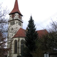
Bartholomäuskirche
3.3 km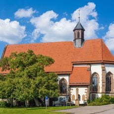
St.-Anna-Kirche
3.6 km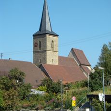
Pfarrkirche St. Hippolyt
5 km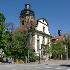
Stephanuskirche (Abstatt)
4.6 km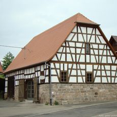
Alte Kelter (Helfenberg)
4.5 km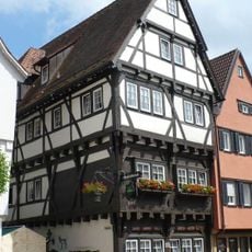
Stadtschänke (Großbottwar)
3.7 km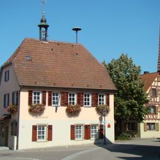
Rathaus Ottmarsheim
5 km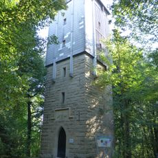
Wunnenstein Tower
770 m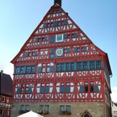
City hall Großbottwar
3.7 km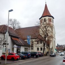
Martinskirche Großbottwar
3.7 km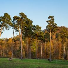
Wunnenstein, Forstberg und Köchersberg mit angrenzenden Gebieten (Landkreis Ludwigsburg)
1.5 km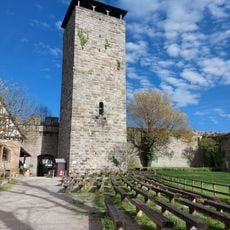
Burg Hohenbeilstein
3.8 km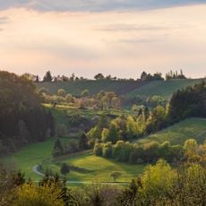
Fohlenberg und Umgebung
4.3 km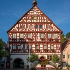
Rathaus Beilstein
3.6 km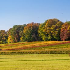
Kälbling und Umgebung
4 km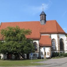
Anna-Linde (Beilstein)
3.6 km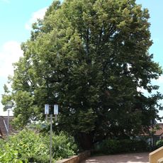
1 Linde
3.2 km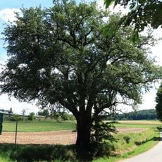
1 Mostbirnbaum
2.3 km
Feuchtgebiet "Bustadt"
3.8 km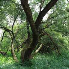
FND Ilsfeld Feuchtgebiet am Tiefenbach
3.6 km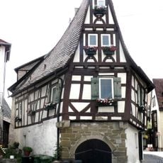
Schiefes Haus (Großbottwar)
3.7 km
Neckarwestheim switching station
4.8 kmVisited this place? Tap the stars to rate it and share your experience / photos with the community! Try now! You can cancel it anytime.
Discover hidden gems everywhere you go!
From secret cafés to breathtaking viewpoints, skip the crowded tourist spots and find places that match your style. Our app makes it easy with voice search, smart filtering, route optimization, and insider tips from travelers worldwide. Download now for the complete mobile experience.

A unique approach to discovering new places❞
— Le Figaro
All the places worth exploring❞
— France Info
A tailor-made excursion in just a few clicks❞
— 20 Minutes