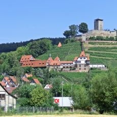
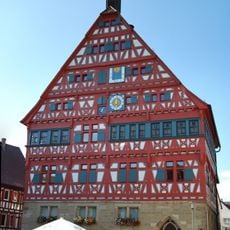
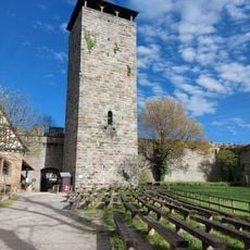
Burg Lichtenberg, Medieval castle in Oberstenfeld, Germany
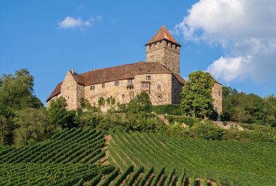
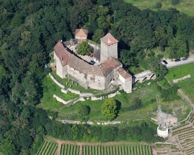
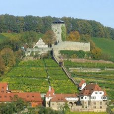
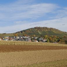
Burg Lichtenberg is a medieval castle ruin set on a hill above the village of Oberstenfeld in Baden-Württemberg, Germany. The site includes thick stone walls, several towers, and visible defensive ditches that outline the original layout of the fortification.
The castle was founded around 1197 by a local noble family and became a center of regional rivalry over the following centuries. It passed through several hands and was damaged in various conflicts, though it was never fully destroyed.
The name Lichtenberg means 'bright hill' in German, and the site does sit on a raised position that makes it visible from the surrounding countryside. Visitors walking through the remains can spot how different sections were built or modified at different times, giving a sense of how the place changed hands and purpose.
The site is accessible on foot, and wearing sturdy shoes is a good idea since some paths are uneven and sections can be steep. The higher parts of the ruins offer open views over the village and the surrounding valley.
Although the castle changed hands many times over the centuries, its core structure was never torn down and rebuilt from scratch, which is relatively rare for a site of this age. This means visitors can trace several distinct construction phases within the same walls, something that few comparable ruins in the region offer.
The community of curious travelers
AroundUs brings together thousands of curated places, local tips, and hidden gems, enriched daily by 60,000 contributors worldwide.