
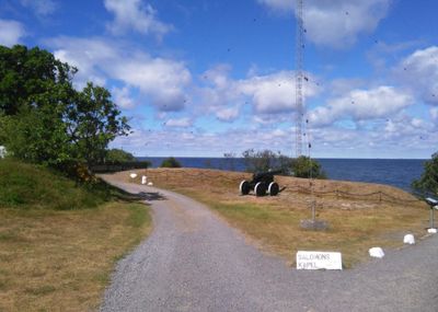
Batterie Hammeren Nord, ancient monument in Bornholm Regional Municipality (192347)
Location: Bornholm regional municipality
GPS coordinates: 55.29818,14.77318
Latest update: March 4, 2025 10:04
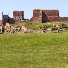
Hammershus
3.2 km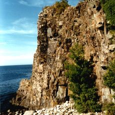
Jons Kapel
8 km
Helligdomsklipperne
11.3 km
Døndalen
10.5 km
Bornholms Museum of Arts
11.3 km
Hammeren
579 m
Madsebakke
2.1 km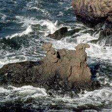
Løvehovederne
3.2 km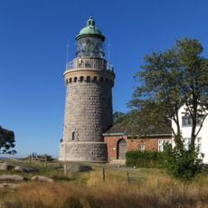
Hammeren Lighthouse
1.5 km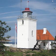
Hammer Odde Lighthouse
41 m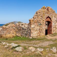
Salomons Kapel
793 m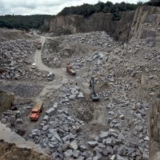
Moseløkken Stenbrudsmuseum
2.7 km
Stammershalle
8.7 km
Slotslyngen
4.9 km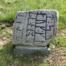
The Rutsker stone
9.4 km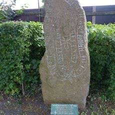
Marevad stone
13.3 km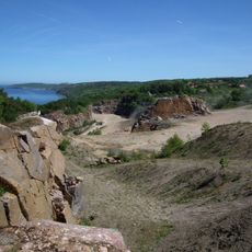
Vang Quarry
6.6 km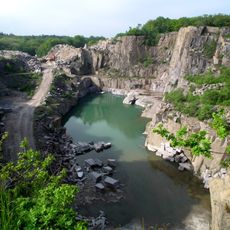
Moseløkken
2.8 km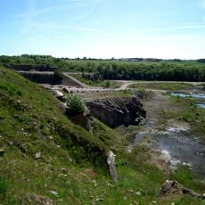
Almeløkke Quarry
7.3 km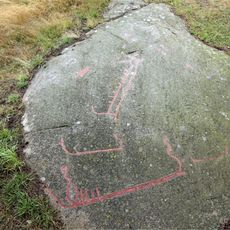
Storløkkebakken
4.1 km
Vang Pier
6.5 km
Ringebakker
6.7 km
Næs
3.5 km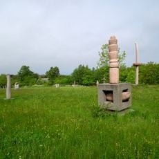
Ole Christensens Skulpturpark
6 km
Sortegryde
11.3 km
Hammershus Besøgscenter
3.1 km
Vang Vandmølle
6.2 km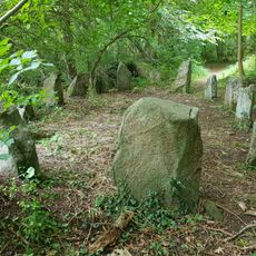
Troldeskoven Skibssætning
9.1 kmReviews
Visited this place? Tap the stars to rate it and share your experience / photos with the community! Try now! You can cancel it anytime.
Discover hidden gems everywhere you go!
From secret cafés to breathtaking viewpoints, skip the crowded tourist spots and find places that match your style. Our app makes it easy with voice search, smart filtering, route optimization, and insider tips from travelers worldwide. Download now for the complete mobile experience.

A unique approach to discovering new places❞
— Le Figaro
All the places worth exploring❞
— France Info
A tailor-made excursion in just a few clicks❞
— 20 Minutes