
El Abiodh Sidi Cheikh, municipality in El Bayadh, Algeria
Location: El Abiodh Sidi Cheikh District
Elevation above the sea: 903 m
Shares border with: El Maharra
GPS coordinates: 32.89861,0.54444
Latest update: April 11, 2025 11:46

El Mechouar Palace
279.3 km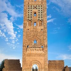
Mansourah Mosque
280.2 km
Great Mosque of Tlemcen
279.6 km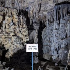
Beni Add Caves
271.2 km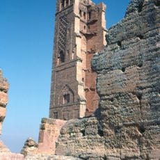
Tlemcen National Park
273.6 km
Altava
264.5 km
Jedars
254.1 km
Sidi Boumediene Mosque
278 km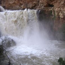
El-Ourit Waterfalls
275.4 km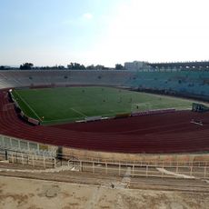
Stade 24 Fevrier 1956
276.3 km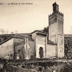
Sidi El Haloui Mosque
279.9 km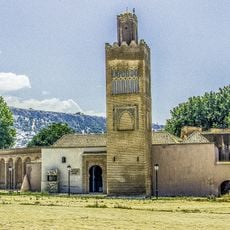
El Mechouar Mosque
279.3 km
Palais de Kourdane
197.7 km
Ibn Khaldoun Cave
240.9 km
Sidi Bel Hasan Mosque
279.6 km
Djebel Aissa National Park
96.4 km
Djebel Issa
94.6 km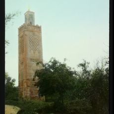
Agadir Mosque
279.5 km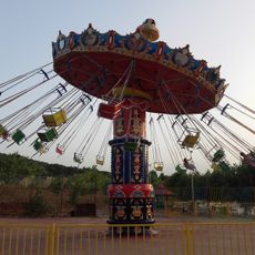
Parc d'attractions Lella setti
278.2 km
Ghar Boumâaza
264 km
Mausolée de Sidi Boudkhil
106.7 km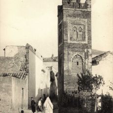
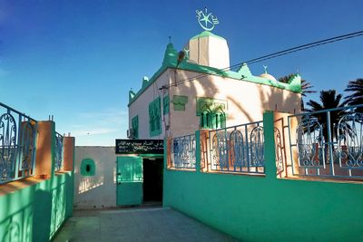
Oulad el Imam mosque
279.6 km
El Hadj Aissa Zoo
280.3 km
Northwest Algeria
279 km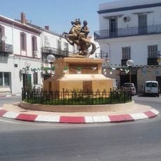
Equestrian statue of Abdelkader El Djezairi
280.4 km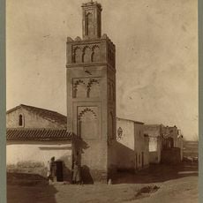
Bab Zir Mosque
279.7 km
قصر كوردان
197.7 km
حديقة التسلية والترفيه عموري
89.6 kmReviews
Visited this place? Tap the stars to rate it and share your experience / photos with the community! Try now! You can cancel it anytime.
Discover hidden gems everywhere you go!
From secret cafés to breathtaking viewpoints, skip the crowded tourist spots and find places that match your style. Our app makes it easy with voice search, smart filtering, route optimization, and insider tips from travelers worldwide. Download now for the complete mobile experience.

A unique approach to discovering new places❞
— Le Figaro
All the places worth exploring❞
— France Info
A tailor-made excursion in just a few clicks❞
— 20 Minutes