
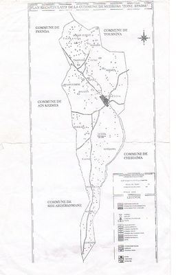
Medrissa, municipality of Algeria
Location: Ain Kermes District
Elevation above the sea: 1,106 m
GPS coordinates: 34.89586,1.23991
Latest update: March 29, 2025 13:21
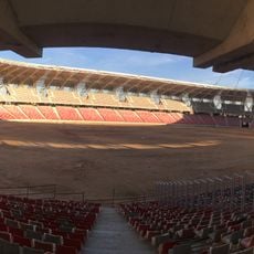
Miloud Hadefi Stadium
187.1 km
Theniet El Had National Park
125.5 km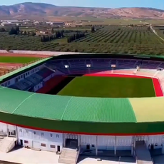
Abdelkrim Kerroum Stadium
149.4 km
Jedars
24.3 km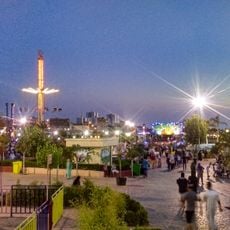
Mostaland
156.9 km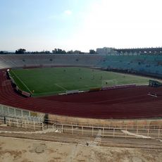
Stade 24 Fevrier 1956
172.7 km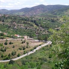
Mont Zaccar
182.4 km
Palais de Kourdane
154.2 km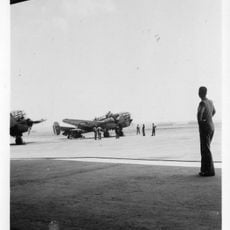
Base aérienne 141 Oran la Sénia
187.1 km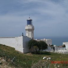
Cap Ivi Lighthouse
163.6 km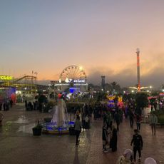
10 - Funny Rides
156.8 km
Tighennif
100.8 km
Ibn Khaldoun Cave
20.8 km
Stade Ahmed Kaïd
52.5 km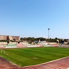
Stade Mohamed Bensaïd
156 km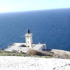
Cap Ténès Lighthouse
184.3 km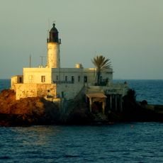
Îlot d'Arzew Lighthouse
176.4 km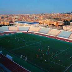
Stade Tahar Zoughari
112.3 km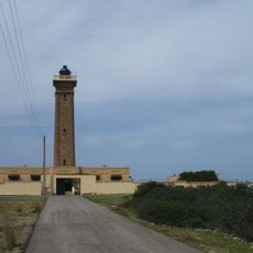
Pointe Colombi Lighthouse
174.4 km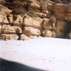
Zarrifa
159.7 km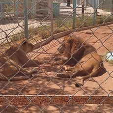
Zoo
187 km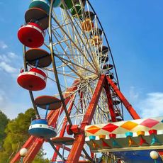
Roller Coaster
55.1 km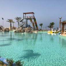
Parc Aquatique
156.9 km
Northwest Algeria
72.2 km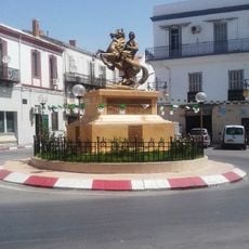
Equestrian statue of Abdelkader El Djezairi
114.4 km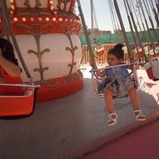
Famili Parc
95.5 km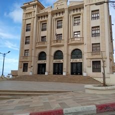
Théâtre régional de Mostaganem
155.9 km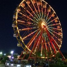
Mostaland Parc
157.1 kmReviews
Visited this place? Tap the stars to rate it and share your experience / photos with the community! Try now! You can cancel it anytime.
Discover hidden gems everywhere you go!
From secret cafés to breathtaking viewpoints, skip the crowded tourist spots and find places that match your style. Our app makes it easy with voice search, smart filtering, route optimization, and insider tips from travelers worldwide. Download now for the complete mobile experience.

A unique approach to discovering new places❞
— Le Figaro
All the places worth exploring❞
— France Info
A tailor-made excursion in just a few clicks❞
— 20 Minutes