Wadi el Gamal National Park, National park in Red Sea Governorate, Egypt
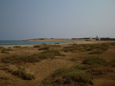
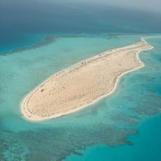
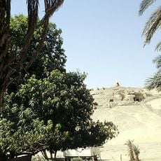
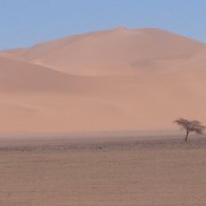
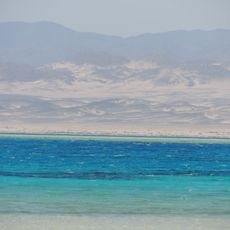
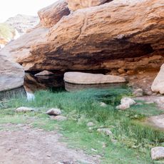
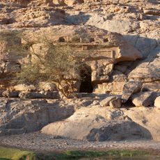
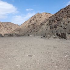
The protected area spans 7,450 square kilometers (2,877 square miles) along 60 kilometers (37 miles) of coastline, encompassing desert mountains, dry riverbeds, and marine ecosystems. The landscape ranges from coral reefs and seagrass beds to rugged peaks in the Eastern Desert mountain range. Several wadis cut through the terrain, creating habitats for diverse flora and fauna. Mangrove areas grow along certain coastal sections alongside sandy beaches and rocky coves.
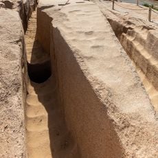
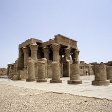
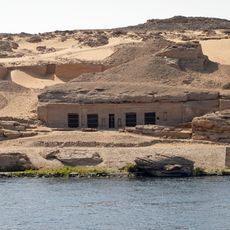
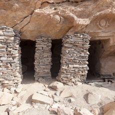
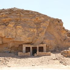
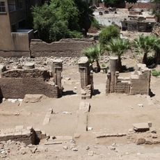
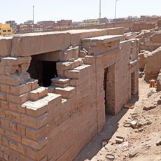
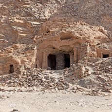
The Egyptian Ministry of Environment declared the area a national park in 2003 to protect terrestrial and marine habitats from overfishing and land use. Before official designation, nomadic tribes used the wadis for seasonal migration and livestock grazing for centuries. Roman and Ptolemaic expeditions mined emeralds and other minerals here, establishing fortifications to secure trade routes. Management programs starting in 2005 introduced zoning regulations to balance conservation with traditional land use rights.
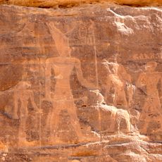
The Ababda and Bisharin people continue traditional practices here that include pastoralism, camel herding, and knowledge of seasonal water sources. These indigenous communities gather medicinal plants from the wadis and maintain centuries-old routes through the mountains. Their cultural practices include sustainable use of coastal resources such as fishing and mangrove gathering. The park area also preserves rock inscriptions and stone structures left by earlier inhabitants of the region.
Visitors can reach the protected area through the main entrance for camel safaris or the Um Abbas entrance for off-road vehicle excursions. The cooler months from October to April provide more comfortable conditions for desert exploration and snorkeling trips. Licensed tour operators from Marsa Alam organize day trips with permits and guides. Visitors should bring sufficient water, sun protection, and closed-toe shoes for rocky terrain, as facilities within the park are limited.
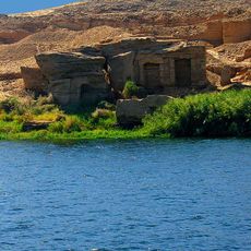
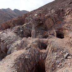
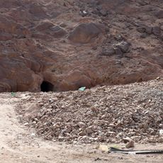
Ancient emerald mines with extraction marks and processing areas lie scattered across the southern section of the park, where Ptolemaic and Roman workers extracted gemstones for royal courts. Stone watchtowers along historical caravan routes provided protection for traders transporting precious materials to the Nile region. Some wadis contain seasonal freshwater springs that become active during rare rainfall events and support vegetation. The area also hosts dugongs in coastal waters, where seagrass beds provide food for these rare marine mammals.
The community of curious travelers
AroundUs brings together thousands of curated places, local tips, and hidden gems, enriched daily by 60,000 contributors worldwide.