
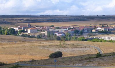
Sargentes de la Lora, municipality of Spain
Location: Province of Burgos
Capital city: Sargentes de la Lora
Elevation above the sea: 1,019 m
Website: http://www.sargentesdelalora.es/
Part of: Mancomunitat «Páramos y Valles»
Shares border with: Valle de Sedano, Tubilla del Agua, Basconcillos del Tozo, Valderredible, Valle de Valdelucio, Berzosilla
Website: http://sargentesdelalora.es
GPS coordinates: 42.76917,-3.87278
Latest update: March 6, 2025 21:06
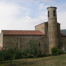
Collegiate church of San Martin de Elines, Cantabria
6.7 km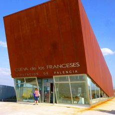
Cueva de los Franceses
19.9 km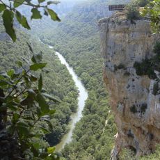
Hoces del Alto Ebro y Rudrón
13.3 km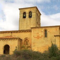
Church of San Esteban, Moradillo de Sedano
15.9 km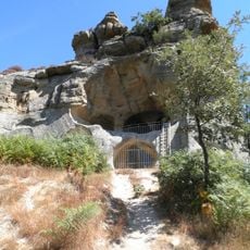
Presillas rock hermitage
9.7 km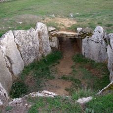
Dolmen de La Cabaña
2 km
Castle of Urbel
16.6 km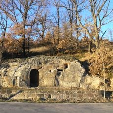
Iglesia rupestre de Cadalso
7.3 km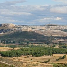
La Ulaña
19.9 km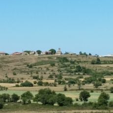
Cilleruelo de Bricia
14 km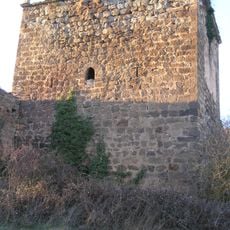
Tower of Cadalso
7.2 km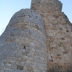
Torre de Ruerrero
7.7 km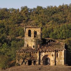
Iglesia de San Clemente, Huidobro
14.6 km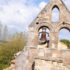
Zona arqueológica de Santa María de Hito
8.4 km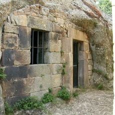
Ermitage rupestre de Campo de Ebro
8.2 km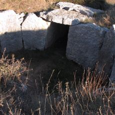
Dolmen von El Moreco
14.8 km
Iglesia rupestre de Campo de Ebro
8.2 km
Church of Santa María
12.1 km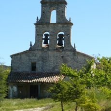
Church of San Martín
11.9 km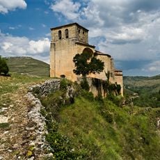
Sedano
11.6 km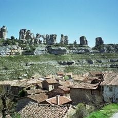
Orbaneja del Castillo
9.8 km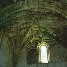
Church of San Miguel, Cortiguera
12 km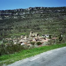
Escalada
9.2 km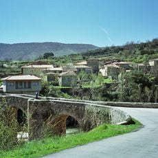
Pesquera de Ebro
13 km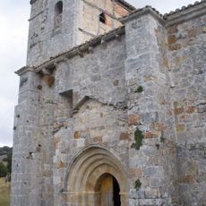
Church of San Esteban Protomártir, Arcellares
13.1 km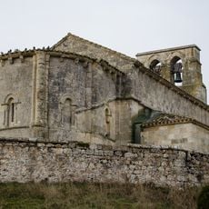
Church of Nuestra Señora de la Asunción, Boada de Villadiego
23.2 km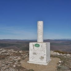
Valcabado 2005©
18.8 km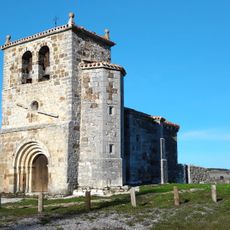
Church of San Vicente, Mundilla
15.4 kmReviews
Visited this place? Tap the stars to rate it and share your experience / photos with the community! Try now! You can cancel it anytime.
Discover hidden gems everywhere you go!
From secret cafés to breathtaking viewpoints, skip the crowded tourist spots and find places that match your style. Our app makes it easy with voice search, smart filtering, route optimization, and insider tips from travelers worldwide. Download now for the complete mobile experience.

A unique approach to discovering new places❞
— Le Figaro
All the places worth exploring❞
— France Info
A tailor-made excursion in just a few clicks❞
— 20 Minutes