
Abres, parish of Spain
Location: A Veiga
Elevation above the sea: 70 m
Shares border with: San Tiso, Guiar, A Veiga
GPS coordinates: 43.43950,-7.09424
Latest update: April 30, 2025 14:59
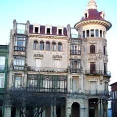
Torre dos Moreno
11.7 km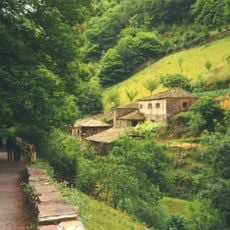
Conjunto Histórico de Teixois
11 km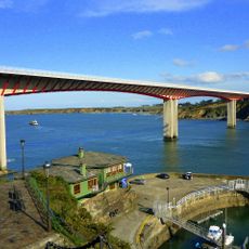
Ponte dos Santos
12.5 km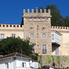
Palacio de los Pardo de Donlebún
12.3 km
Henge de Roda
12.7 km
Mazonovo
9.2 km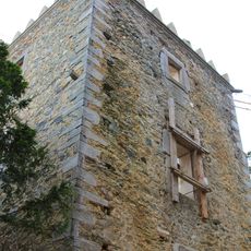
Towers of Donlebún
12.7 km
Fortress of San Damián
12.6 km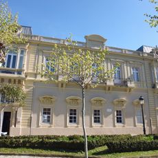
Biblioteca Pública Municipal de Castropol - Menéndez Pelayo
10.8 km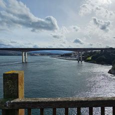
O Cargadoiro
12.6 km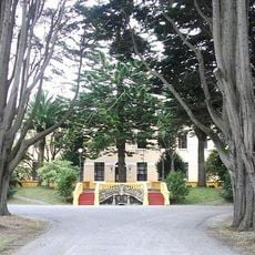
Granxa escola Pedro Murias
11.5 km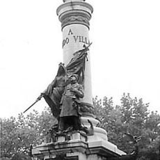
Historical site of the Villa of Castropol
11.1 km
Convento de Santa Clara de Ribadeo
11.5 km
Sanctuary of A Nosa Señora das Virtudes da Ponte
7.5 km
Casa Elisa y Luis Villamil
4.4 km
Os Bloques
10.8 km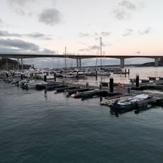
Ribadeo Marina
12.1 km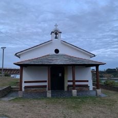
Chapel of San Miguel, Ribadeo
12.2 km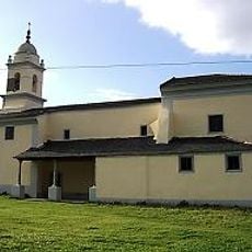
Igrexa de Santa María de Vilaselán
12.5 km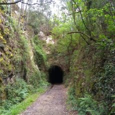
Ruta da antiga vía do ferrocarril Vilaoudriz - Ribadeo
12.9 km
Casa de Cultura
11 km
Castillo. Murallas
11.8 km
Biblioteca Pública Municipal de Figueras - Miguel García Teijeiro
12.4 km
Biblioteca Pública Municipal de Ribadeo - El Viejo Pancho
11.8 km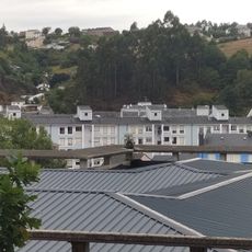
Vegadeo
4.7 km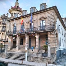
Casa Consistorial de Ribadeo
11.6 km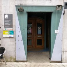
Biblioteca Pública Municipal de Vegadeo - Emilio y Armando Cotarelo
4.4 km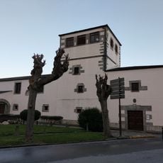
Biblioteca del Convento de Santa Clara
11.5 kmReviews
Visited this place? Tap the stars to rate it and share your experience / photos with the community! Try now! You can cancel it anytime.
Discover hidden gems everywhere you go!
From secret cafés to breathtaking viewpoints, skip the crowded tourist spots and find places that match your style. Our app makes it easy with voice search, smart filtering, route optimization, and insider tips from travelers worldwide. Download now for the complete mobile experience.

A unique approach to discovering new places❞
— Le Figaro
All the places worth exploring❞
— France Info
A tailor-made excursion in just a few clicks❞
— 20 Minutes