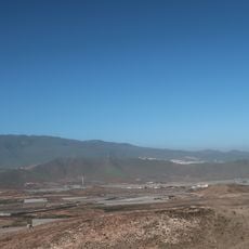
Santa Lucía de Tirajana, municipality of Spain
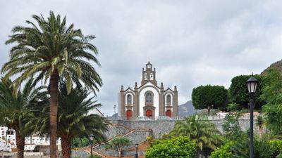
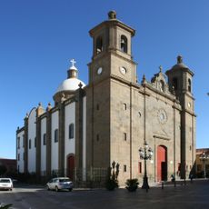
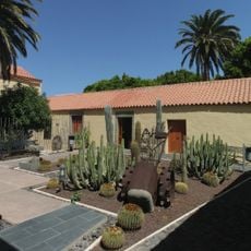
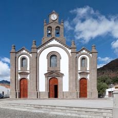
Santa Lucía de Tirajana is a municipality in the southern part of Gran Canaria in Las Palmas province. The town features traditional stone houses with whitewashed walls and red tile roofs arranged around a central plaza, with narrow winding streets connecting residential areas and small shops throughout.
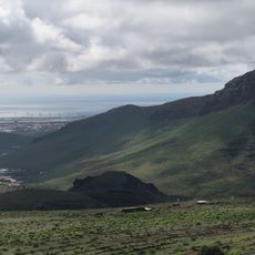
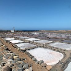
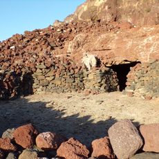
The area has roots going back many centuries as a farming community dependent on growing crops and raising livestock. Over time it developed into a settled village that preserved many traditional features, with old farmhouses still visible alongside newer structures.
The town takes its name from Saint Lucy and was shaped for centuries by farming traditions that remain visible in the architecture and local markets. Whitewashed stone houses with simple facades and small windows reflect the humble, hardworking character of the community.
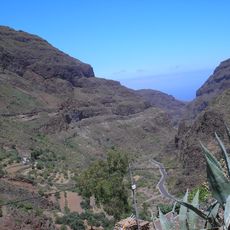
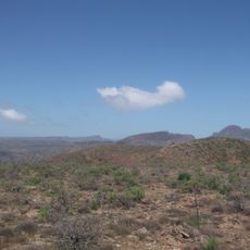
The town is easily reached by car or local buses and makes a good base for walking trips into surrounding hills and countryside. Small shops and cafes are scattered through the streets, offering places to rest and sample local products.
Local craftspeople still practice traditional pottery and textile making, keeping old skills alive in the community. Handmade items are available in small shops and markets, giving visitors a chance to see these skills being used today.
The community of curious travelers
AroundUs brings together thousands of curated places, local tips, and hidden gems, enriched daily by 60,000 contributors worldwide.