Macizo de Amurga, mountain
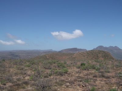
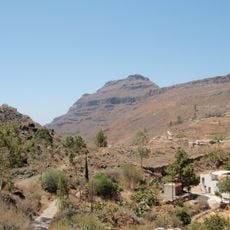
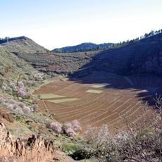
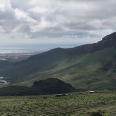
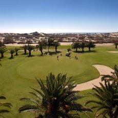
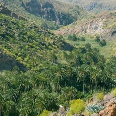
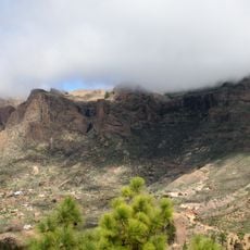
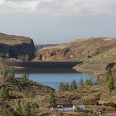
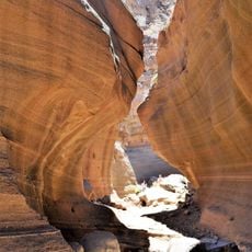
The Macizo de Amurga is a large mountain formation in southern Gran Canaria, stretching between the valleys of Tirajana and Fataga and sloping down toward the coast. The landscape consists of steep, jagged slopes with numerous canyons, cliff faces, and sharp ridges, with the highest peak exceeding 1,100 meters.
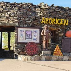
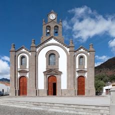
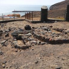
The area held significance for the Guanche people long ago, as shown by archaeological finds of tombs, dwellings, and ritual sites scattered across the mountain. During medieval times it served as a stronghold, and later during colonization it was used mainly for livestock grazing until parts were privatized in the 1800s.
The name Amurga likely comes from ancient Berber language, possibly meaning a gathering place or meeting spot. Sacred sites throughout the mountain show that the Guanche people connected this landscape to spiritual practices and religious ceremonies.
Access is only on foot as the terrain is very steep and rocky, requiring sturdy shoes and careful footing throughout. Start early in the day, bring plenty of water, and prepare for harsh conditions, particularly on the exposed sections higher up the mountain.
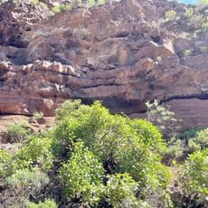
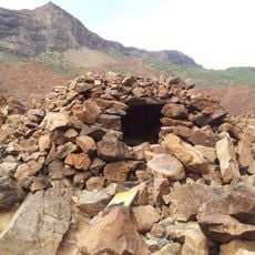
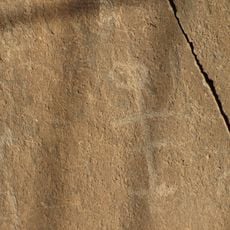
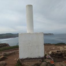
Archaeological excavations in the 1970s revealed a system of bowls and channels carved into volcanic rock at the Los Pasos site above 1,100 meters elevation. These features likely served ritual purposes and demonstrate the remarkable craftsmanship of the ancient inhabitants.
The community of curious travelers
AroundUs brings together thousands of curated places, local tips, and hidden gems, enriched daily by 60,000 contributors worldwide.