San Bartolomé de Tirajana, Municipality in Las Palmas, Spain.
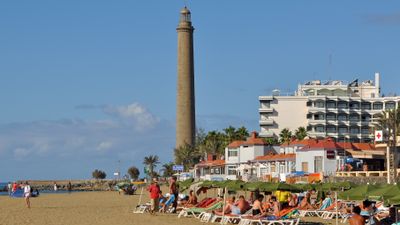
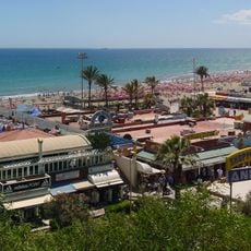
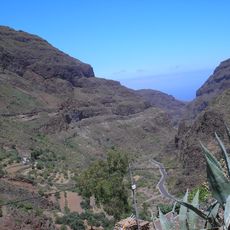
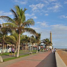
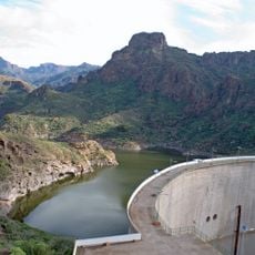
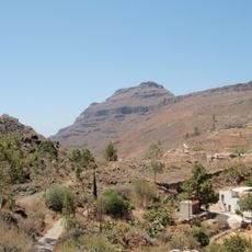
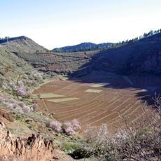
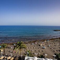
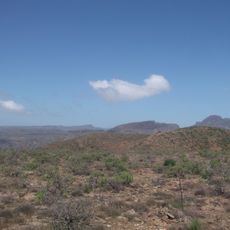
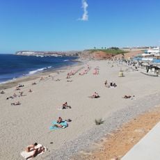
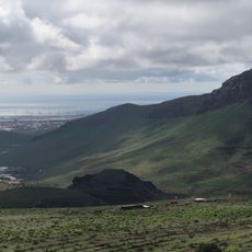
San Bartolomé de Tirajana is a municipality in Las Palmas that spans from interior mountains to a long coastline, containing multiple settlements and distinct geographical zones. The inland center sits in a valley with traditional buildings, while the southern coast hosts large resort areas with wide beaches and modern development.
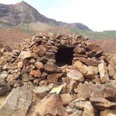
The area was first inhabited by Guanche people before Spanish conquest arrived in the 15th century, reshaping the region's structures and settlement patterns. Coastal development accelerated in recent decades as tourism transformed formerly quiet fishing communities into major resort destinations.
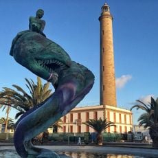
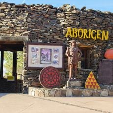
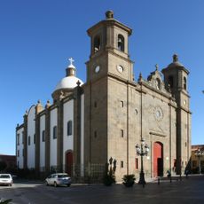
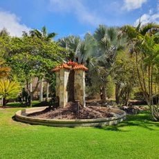
The name honors San Bartolomé, the patron saint, and his presence is felt throughout the municipality's religious spaces and traditions. The mountain village of Tunte shows how locals preserve old Canarian building styles, creating a contrast with the modern coastal settlements.
The municipality is easy to navigate by car or bus, with roads connecting the mountain villages to the coastal resorts fairly well. Most visitor services and amenities are concentrated in the coastal areas, making those zones more convenient for tourists.
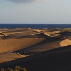
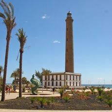
The southern coast features an unusual system of large sand dunes that sits right next to busy beach resorts, creating a stark contrast between natural and developed areas. Few visitors realize this desert-like landscape is a protected natural zone in its own right.
The community of curious travelers
AroundUs brings together thousands of curated places, local tips, and hidden gems, enriched daily by 60,000 contributors worldwide.