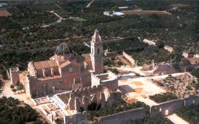
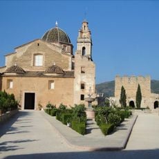
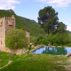
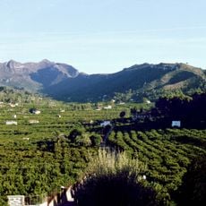
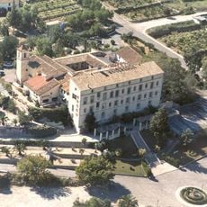
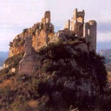
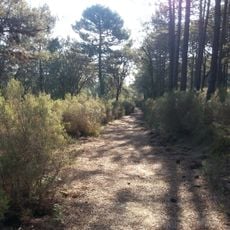
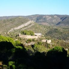
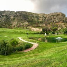
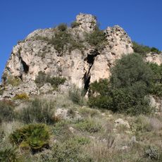
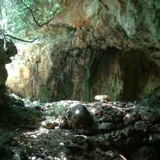
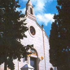
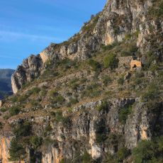
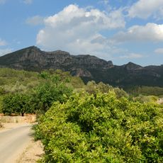
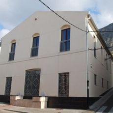
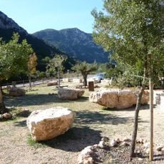
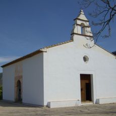
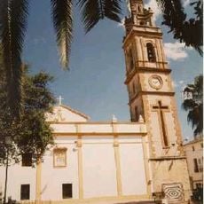
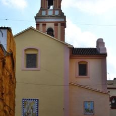
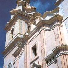
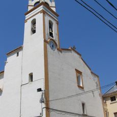
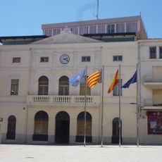
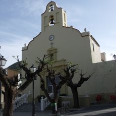
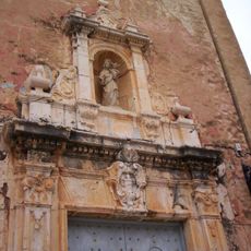
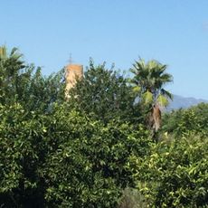
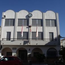
Simat de la Valldigna, municipality of Spain
Location: Safor
Capital city: Simat de la Valldigna
Elevation above the sea: 45 m
Shares border with: Benifairó de la Valldigna, Xeresa, Barx, Quatretonda, Barxeta, Carcaixent, Pinet, Xàtiva, Alzira, Xeraco, Rafelguaraf
Website: http://simat.org
GPS coordinates: 39.04370,-0.31037
Latest update: March 9, 2025 02:22
Monastery of Santa María de la Valldigna
416 m
Cova del Parpalló
5.5 km
Monastery of la Murta
10.4 km
Cueva de Bolomor
5.5 km
La Murta i la Casella
4.6 km
Monestir de Santa Maria d'Aigües Vives
6.4 km
Castle of Alfàndec
3 km
El Surar, Valencia
6.8 km
Castle of Chio
10.4 km
La Galiana Campo de Golf
5.7 km
Centre d'interpretació paratge natural Parpalló-Borrell
5.5 km
Sima de l'Aigua
5.9 km
Chapel of Christ in Calvary
5 km
Castell de Tavernes
5.4 km
Cavall Bernat
10.1 km
Braç treballador
5 km
Parpalló-Borrell
6.5 km
Mosque of La Xara
948 m
Church of Our Lady of the Incarnation
8.3 km
Church of Saint Anthony the Great
9.3 km
Church of Saint Peter
4.9 km
Church of Saint John the Evangelist
1.2 km
Town hall of Tavernes de la Valldigna
4.8 km
Church of Saint Peter
7.2 km
Ermita de la Mare de Déu de Gràcia
372 m
Chimney of Motor del Realengo, Énova
11.5 km
Biblioteca Pública Municipal de Xeraco
8.2 km
Town hall of Barxeta
9.4 kmReviews
Visited this place? Tap the stars to rate it and share your experience / photos with the community! Try now! You can cancel it anytime.
Discover hidden gems everywhere you go!
From secret cafés to breathtaking viewpoints, skip the crowded tourist spots and find places that match your style. Our app makes it easy with voice search, smart filtering, route optimization, and insider tips from travelers worldwide. Download now for the complete mobile experience.
A unique approach to discovering new places❞
— Le Figaro
All the places worth exploring❞
— France Info
A tailor-made excursion in just a few clicks❞
— 20 Minutes