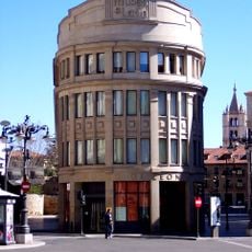
French Way, Pilgrimage route in northern Spain
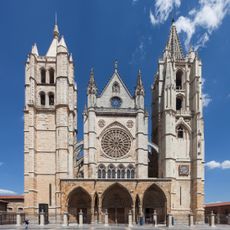
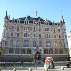
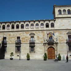
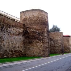
The French Way is a pilgrimage route in Spain running from the French border at Saint-Jean-Pied-de-Port to Santiago de Compostela, covering roughly 780 kilometers (485 miles). The path crosses flat wheat fields, forested hills, and medieval towns with stone churches and narrow lanes.
The route took shape in the first half of the 11th century: the Historia Silense records that King Sancho III Garcés of Navarre (r. 1004–1035) prepared the way between the Pyrenees and Nájera. A 1047 charter for the hospital of Arconada already mentions pilgrims travelling to Rome and Santiago. From the 11th century, rulers granted privileges and tax exemptions to attract French settlers, from whom the name Camino Francés derives, first attested in Astorga in the 12th century.
Village bakeries along the route sell fresh bread and regional specialties to pilgrims who often start walking before sunrise. Many hostels display messages and drawings left by previous travelers, creating a visible sense of worldwide community.
Yellow arrows and scallop shell symbols mark the way through villages, fields, and forests. Many stages run about 12 to 19 miles (20 to 30 kilometers), and you can stay overnight in hostels or small guesthouses along the way.
Pilgrims collect stamps in a small booklet from hostels, churches, and cafés to receive an official certificate at the end. Some stamps feature local symbols such as grapes, towers, or animals, each reflecting a region.
The community of curious travelers
AroundUs brings together thousands of curated places, local tips, and hidden gems, enriched daily by 94,252 contributors worldwide.