
Alameda del Valle, municipality of Spain
Location: Community of Madrid
Capital city: Alameda del Valle
Elevation above the sea: 1,107 m
Part of: Mancomunitat de Serveis Culturales de la Sierra Norte de Madrid, Mancomunitat de Serveis de Arquitectura y Urbanismo Sierra Norte, Mancomunitat de Serveis Socials «Sierra Norte», Mancomunidad «Valle del Lozoya»
Shares border with: Canencia, Collado Hermoso, Pinilla del Valle, Rascafría, Santo Domingo de Pirón, Sotosalbos
GPS coordinates: 40.92194,-3.84583
Latest update: March 6, 2025 05:56
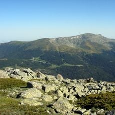
Peñalara
12.3 km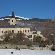
Monasterio de El Paular
5.1 km
Peñalara Natural Park
11.7 km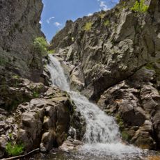
Cascadas del Purgatorio
8.2 km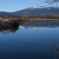
Pinilla Reservoir
4.2 km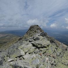
Risco de los Claveles
11.6 km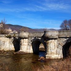
Puente del Perdón
5.2 km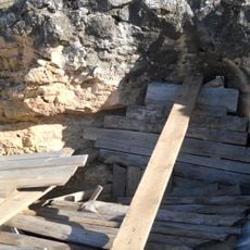
Archaeological site of Los Calveros
3.1 km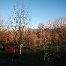
Arboreto Giner de los Ríos
5.1 km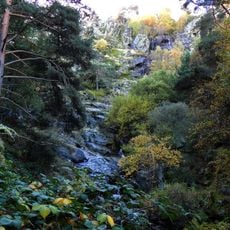
Chorrera de Mojonavalle
8.1 km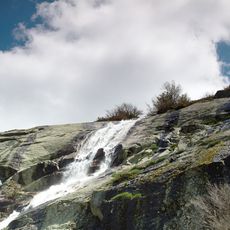
Chorro Grande
11.1 km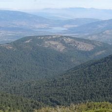
Cabeza Mediana
10 km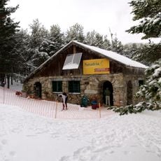
Centro de esquí nórdico Navafría
7.7 km
Cambrones River Boilers
11.6 km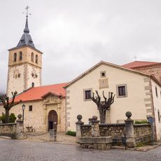
Church of San Andrés Apóstol
3.4 km
Center for visitors of Puente del Perdón, Rascafría
5.1 km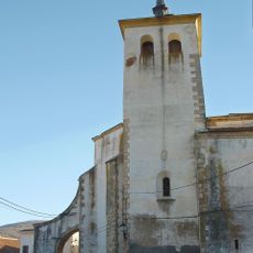
Church of San Salvador
5.5 km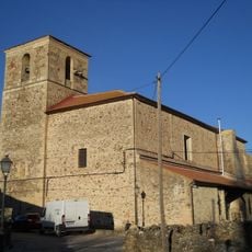
Church of San Miguel
2.4 km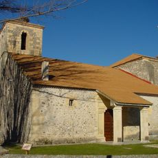
Church of Santa Marina
633 m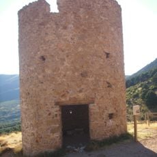
Torre de la Mina
11.5 km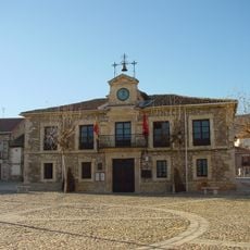
Town hall of Lozoya
5.6 km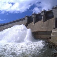
Pinilla Dam
6.6 km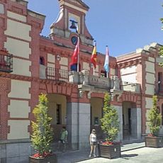
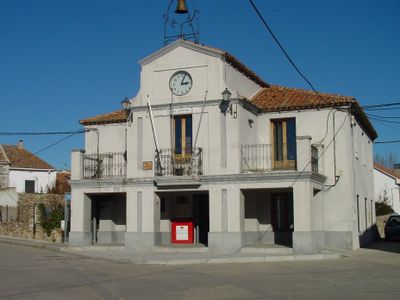
Town hall of Rascafría
3.5 km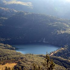
Miraflores de la Sierra reservoir
11.7 km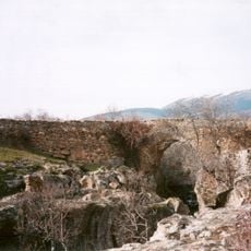
Bridge of Congosto
7.6 km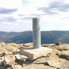
Peñalara 1993©
12.3 km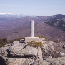
Cabeza Mediana
10 km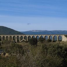
Viaducto de Taboada
10.4 kmVisited this place? Tap the stars to rate it and share your experience / photos with the community! Try now! You can cancel it anytime.
Discover hidden gems everywhere you go!
From secret cafés to breathtaking viewpoints, skip the crowded tourist spots and find places that match your style. Our app makes it easy with voice search, smart filtering, route optimization, and insider tips from travelers worldwide. Download now for the complete mobile experience.

A unique approach to discovering new places❞
— Le Figaro
All the places worth exploring❞
— France Info
A tailor-made excursion in just a few clicks❞
— 20 Minutes